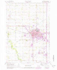
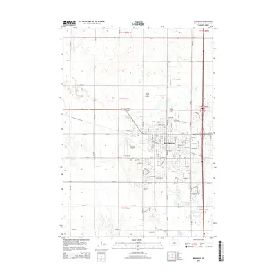
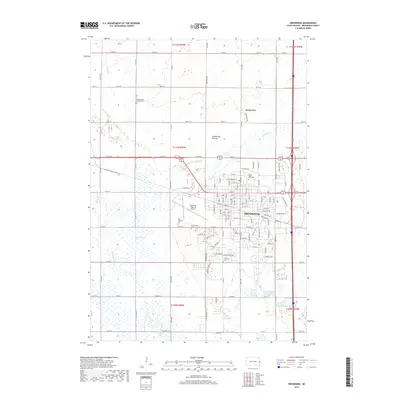
1964 Map of Brookings
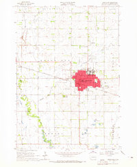
USGS Topo · Published 1982About this map
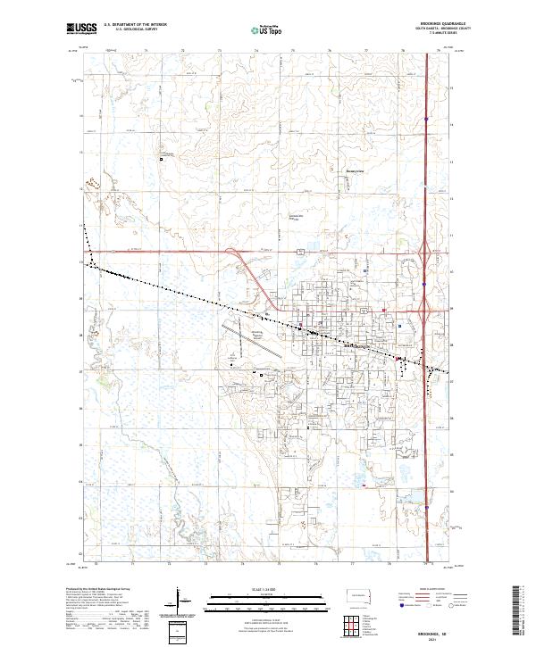
The academic and agricultural landscape of Brookings is centered on the extensive campus of South Dakota State University, which dominates the northern reaches of the city. During the mid-1960s, the community functioned as a vital regional hub, defined by the Chicago and North Western rail line and a network of essential institutions including the Po, Courthouse, and the Brookings Municipal Airport. Outside the urban center, the land transitions into a patchwork of townships like Sterling and Aurora, where an Experiment Station and several Gravel Pits suggest the area's dual reliance on scientific research and natural resources. Notable local landmarks like Pioneer Park and the Drive-in Theater reflect the mid-century social character of the county seat. The periphery is marked by historic burial grounds including Greenwood Cemetery, Calvary Cemetery, and the Lutheran Cem.
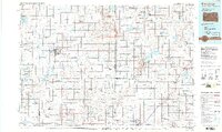
Find a feature on this map
39 named features on this map. Tap any name to fly to it.
Don’t see what you’re looking for? This feature index may not catch every label — zoom into the map to look around manually.
Map Details
Editions of this 1964 Brookings Map
2 editions found
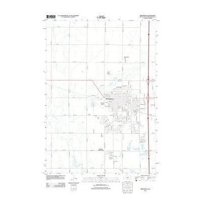
Historical Maps of Brookings Through Time
6 maps found
Featured Locations
- Brookings, SD
- Brookings Township, SD
- Volga Township, SD
- Medary Township, SD
- Sunnyview, Brookings Township