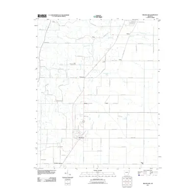
2011 Map of Brookland
USGS Topo · Published 2011About this map
Brookland serves as the central hub of this Northeast Arkansas landscape, where the Missouri Pacific railroad corridor dictates the alignment of local development. This 2011 survey reveals a dense network of rural settlements and named family heritage sites, including Goobertown, Antioch, and Aetna. The terrain is defined by a series of south-flowing drainages like Thompson Creek and Birch Creek, which carve through the agricultural grid.
Find a feature on this map
98 named features on this map. Tap any name to fly to it.
Don’t see what you’re looking for? This feature index may not catch every label — zoom into the map to look around manually.
Map Details
Editions of this 2011 Brookland Map
This is the sole edition of this map. No revisions or reprints were ever made.
Other maps of this area

1939 · Jonesboro
USGS Topo · 1:62,500

1940 · Gainesville
USGS Topo · 1:62,500

1940 · Marmaduke
USGS Topo · 1:62,500

1941 · Leachville
USGS Topo · 1:62,500

1953 · Memphis
USGS Topo · 1:250,000

1956 · Leachville
USGS Topo · 1:62,500

1956 · Memphis
USGS Topo · 1:250,000

1957 · Poplar Bluff
USGS Topo · 1:250,000

1958 · Jonesboro
USGS Topo · 1:62,500

1958 · Marmaduke
USGS Topo · 1:62,500