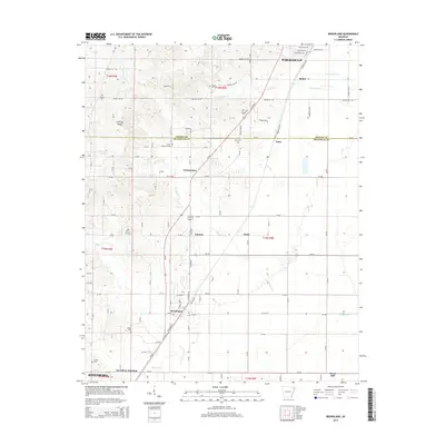
2014 Map of Brookland
USGS Topo · Published 2014About this map
Crowleys Ridge rises above the alluvial landscape along the border of Greene and Craighead counties, providing a distinctive topographic anchor for the surrounding agricultural plains. The town of Brookland serves as a primary hub in the south, while smaller settlements like Goobertown, Antioch, and Aetna are scattered along the corridors of the local road network. The map reveals a dense distribution of rural burial sites, including Woods Cem, Clarks Cem, and the uniquely named Sweet Moments Cem, which offer significant value for genealogical research in this portion of Northeast Arkansas. Waterways such as Thompson Cr and Birch Cr wind through the lowlands, while the northern edge reaches toward the outskirts of Paragould and the neighborhood of Bethel. This landscape reflects a mix of traditional township-and-range surveying and the modern growth of the Jonesboro and Paragould metropolitan influence.
Find a feature on this map
66 named features on this map. Tap any name to fly to it.
Don’t see what you’re looking for? This feature index may not catch every label — zoom into the map to look around manually.
Map Details
Editions of this 2014 Brookland Map
This is the sole edition of this map. No revisions or reprints were ever made.
Other maps of this area

1939 · Jonesboro
USGS Topo · 1:62,500

1940 · Gainesville
USGS Topo · 1:62,500

1940 · Marmaduke
USGS Topo · 1:62,500

1941 · Leachville
USGS Topo · 1:62,500

1953 · Memphis
USGS Topo · 1:250,000

1956 · Leachville
USGS Topo · 1:62,500

1956 · Memphis
USGS Topo · 1:250,000

1957 · Poplar Bluff
USGS Topo · 1:250,000

1958 · Jonesboro
USGS Topo · 1:62,500

1958 · Marmaduke
USGS Topo · 1:62,500