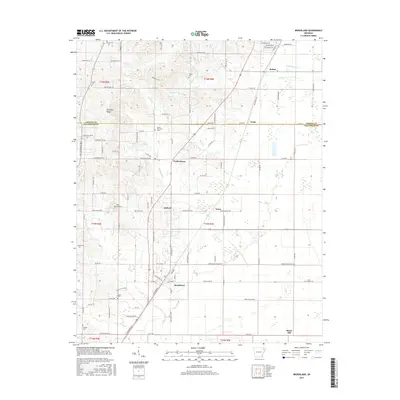
2017 Map of Brookland
USGS Topo · Published 2017About this map
Brookland and its surrounding communities are documented here in 2017, where the transition between the elevated topography of Crowleys Ridge and the flatter eastern plains is clearly defined. The area is characterized by a high density of small family and community burial grounds, such as Sweet Moments Cem, Nober Cem, and Woods Cem, which offer significant value for genealogical research in this part of Craighead County.
Find a feature on this map
108 named features on this map. Tap any name to fly to it.
Don’t see what you’re looking for? This feature index may not catch every label — zoom into the map to look around manually.
Map Details
Editions of this 2017 Brookland Map
This is the sole edition of this map. No revisions or reprints were ever made.
Other maps of this area

1939 · Jonesboro
USGS Topo · 1:62,500

1940 · Gainesville
USGS Topo · 1:62,500

1940 · Marmaduke
USGS Topo · 1:62,500

1941 · Leachville
USGS Topo · 1:62,500

1953 · Memphis
USGS Topo · 1:250,000

1956 · Leachville
USGS Topo · 1:62,500

1956 · Memphis
USGS Topo · 1:250,000

1957 · Poplar Bluff
USGS Topo · 1:250,000

1958 · Jonesboro
USGS Topo · 1:62,500

1958 · Marmaduke
USGS Topo · 1:62,500