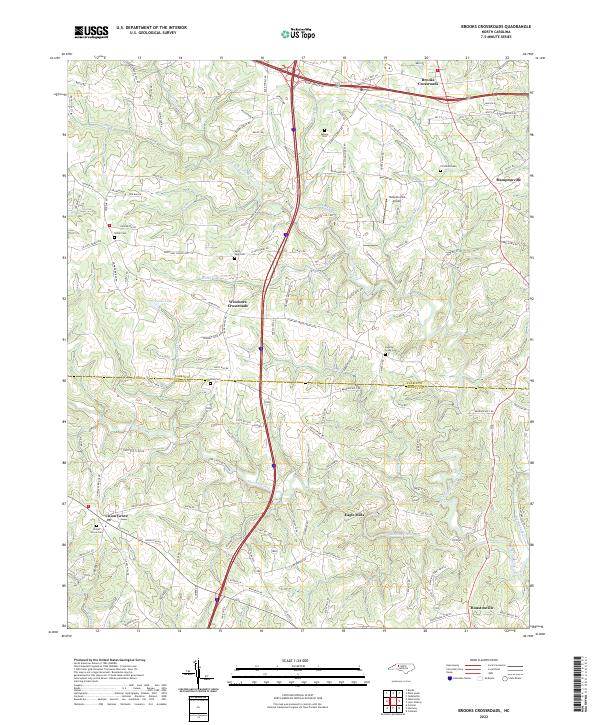
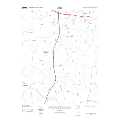
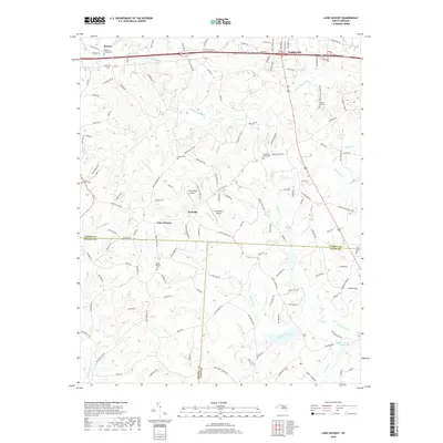
2022 Map of Brooks Crossroads
USGS Topo · Published 2022About this map
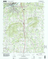
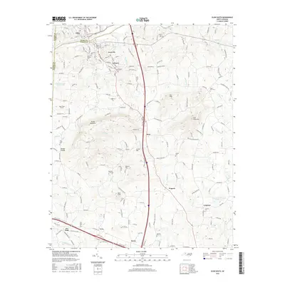
Brooks Crossroads and Hamptonville anchor this northern North Carolina landscape, where the foothills topography is defined by the drainage of Hunting Creek and North Little Hunting Creek. The map documents a rural network of family-named roads and historic community hubs, including Windsors Crossroads and the southern settlement of Houstonville near the Iredell County line. The transition from traditional farming to modern infrastructure is visible in the proximity of the Hamptonville Airport to established landmarks like Parks Lake. Local history is preserved through numerous community burial grounds such as Hunting Creek Cem, Union Grove Cem, and Flat Rock Cem. The prevalence of mill-related nomenclature, such as Barnard Mill Rd and Mayberry Mill Rd, hints at the earlier water-powered economy that once thrived along the branches of Rocky Creek.
Find a feature on this map
134 named features on this map. Tap any name to fly to it.
Don’t see what you’re looking for? This feature index may not catch every label — zoom into the map to look around manually.
Map Details
Editions of this 2022 Brooks Crossroads Map
This is the sole edition of this map. No revisions or reprints were ever made.
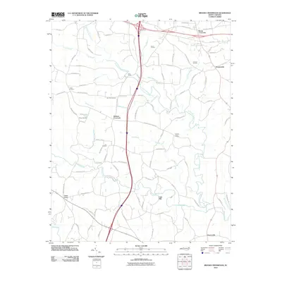
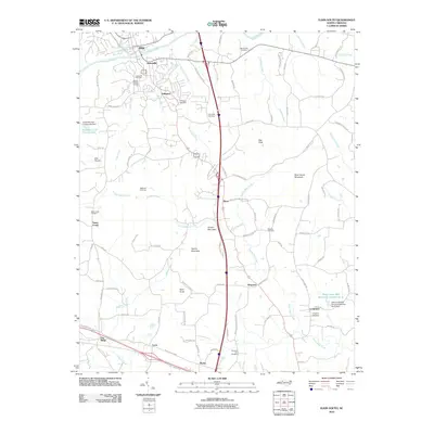
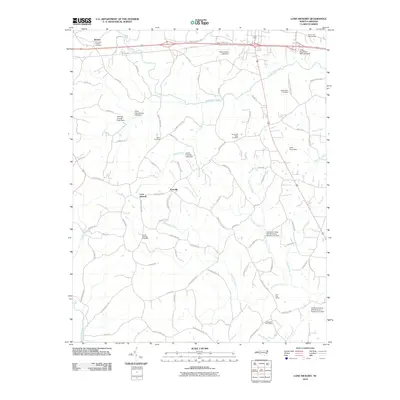
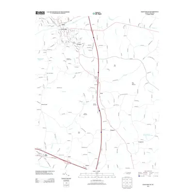
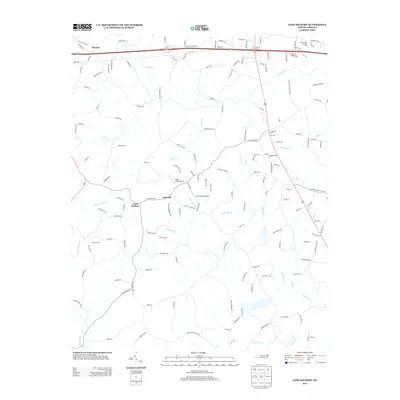
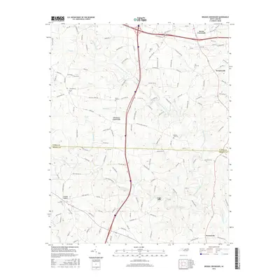
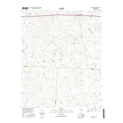
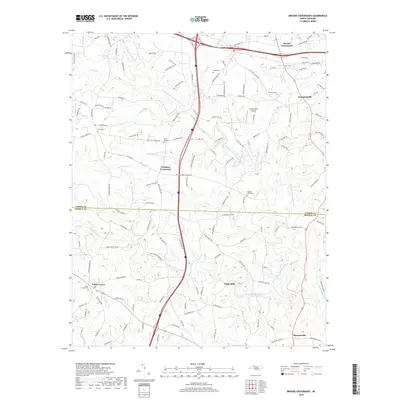
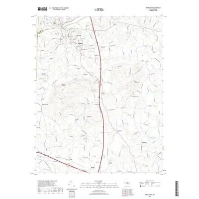
Historical Maps of Eagle Mills Through Time
21 maps found

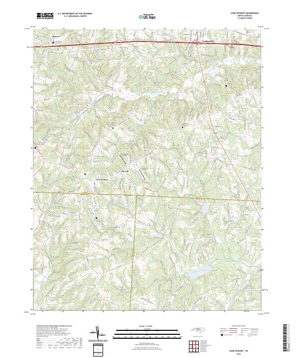
1966 Lone Hickory
Yadkin County, NC
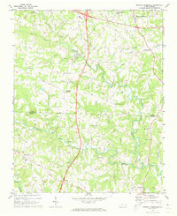
1970 Brooks Crossroads
Yadkin County, NC
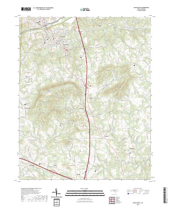
1971 Elkin South
Yadkin County, NC

1976 Elkin South
Yadkin County, NC
1996 Brooks Crossroads
Yadkin County, NC
1996 Elkin South
Yadkin County, NC
2010 Brooks Crossroads
Yadkin County, NC
2010 Elkin South
Yadkin County, NC
2010 Lone Hickory
Yadkin County, NC
2013 Brooks Crossroads
Yadkin County, NC
2013 Elkin South
Yadkin County, NC
2013 Lone Hickory
Yadkin County, NC
2016 Brooks Crossroads
Yadkin County, NC
2016 Elkin South
Yadkin County, NC
2016 Lone Hickory
Yadkin County, NC
2019 Brooks Crossroads
Yadkin County, NC
2019 Elkin South
Yadkin County, NC
2019 Lone Hickory
Yadkin County, NC
2022 Brooks Crossroads
Yadkin County, NC
2022 Elkin South
Yadkin County, NC
2022 Lone Hickory
Yadkin County, NC