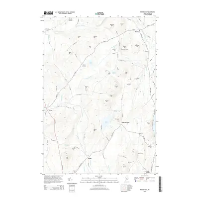
2014 Map of Brooks East
USGS Topo · Published 2014About this map
Marsh Stream and its tributaries define the rolling drainage basins of Waldo County, where the historic crossroads of Monroe Center and Pattee Corner anchor a landscape of scattered hills and family-named cemeteries. The terrain is characterized by a series of prominent elevations such as Robertson Mtn and Houstus Hill, punctuated by small bodies of water like Basin Pond and Thistle Pond.
Find a feature on this map
96 named features on this map. Tap any name to fly to it.
Don’t see what you’re looking for? This feature index may not catch every label — zoom into the map to look around manually.
Map Details
Editions of this 2014 Brooks East Map
This is the sole edition of this map. No revisions or reprints were ever made.
Other maps of this area

1900 · Bucksport
USGS Topo · 1:62,500

1902 · Bucksport
USGS Topo · 1:62,500

1902 · Castine
USGS Topo · 1:62,500

1904 · Castine
USGS Topo · 1:62,500

1905 · Penobscot Bay
USGS Topo · 1:125,000

1915 · Belfast
USGS Topo · 1:62,500

1917 · Belfast
USGS Topo · 1:62,500

1932 · Brooks
USGS Topo · 1:62,500

1941 · Belfast
USGS Topo · 1:62,500

1941 · Castine
USGS Topo · 1:62,500