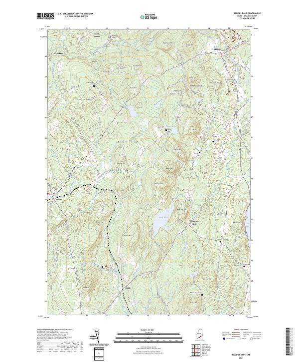
2024 Map of Brooks East
USGS Topo · Published 2024About this map
Marsh Stream and its tributaries carve through this section of Waldo County, defining the local geography around the settlements of Monroe, Brooks, and Waldo. The landscape is characterized by a series of prominent hills, including Robertson Mtn and Mason Hill, which influenced the placement of early homesteads and cemeteries. Genealogists will find a high concentration of burial sites, such as the Monroe Village Cem and the Webster - Knowlton Cem, often situated near family-named landmarks like Pattees Corner Cem. The presence of Nickerson Mills and numerous stream-side labels like North Branch Marsh Stream reflects the area's historical reliance on water power and small-scale agriculture. Towards the east, the terrain descends toward the shores of Swan Lake, where the road network connects the interior highlands to the water's edge.
Find a feature on this map
100 named features on this map. Tap any name to fly to it.
Don’t see what you’re looking for? This feature index may not catch every label — zoom into the map to look around manually.
Map Details
Editions of this 2024 Brooks East Map
This is the sole edition of this map. No revisions or reprints were ever made.
Other maps of this area

1900 · Bucksport
USGS Topo · 1:62,500

1902 · Bucksport
USGS Topo · 1:62,500

1902 · Castine
USGS Topo · 1:62,500

1904 · Castine
USGS Topo · 1:62,500

1905 · Penobscot Bay
USGS Topo · 1:125,000

1915 · Belfast
USGS Topo · 1:62,500

1917 · Belfast
USGS Topo · 1:62,500

1932 · Brooks
USGS Topo · 1:62,500

1941 · Belfast
USGS Topo · 1:62,500

1941 · Castine
USGS Topo · 1:62,500