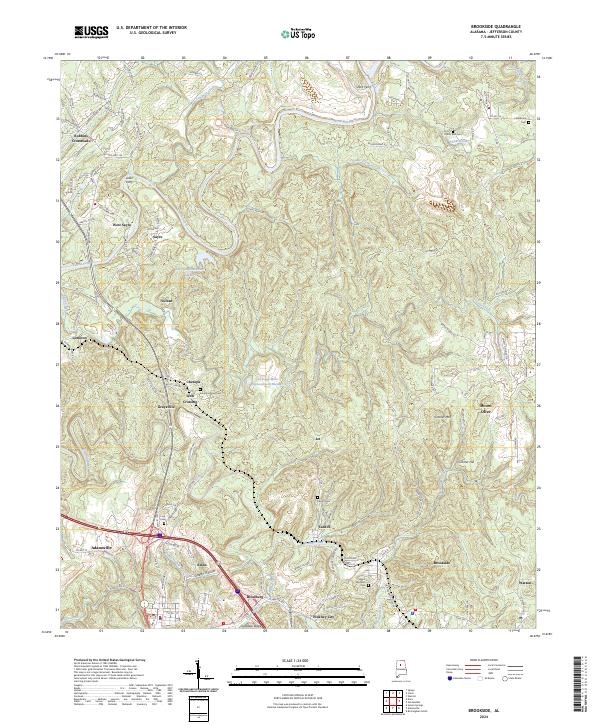
2024 Map of Brookside
USGS Topo · Published 2024About this map
Locust Fork and Fivemile Creek wind through this part of Jefferson County, defining a landscape marked by industrial memory and small settlements. The area around Sayre and Littleton is characterized by its proximity to the river, where geographic features like Glovers Bend and the historic crossing points at Short Ferry and Loller Ferry indicate the legacy of early local transportation. Significant land use is visible at the Chetopa Mine Impoundment Number 2, reflecting the regional importance of mining operations.
Find a feature on this map
124 named features on this map. Tap any name to fly to it.
Don’t see what you’re looking for? This feature index may not catch every label — zoom into the map to look around manually.
Map Details
Editions of this 2024 Brookside Map
This is the sole edition of this map. No revisions or reprints were ever made.
Other maps of this area

1889 · Birmingham
USGS Topo · 1:125,000

1892 · Birmingham
USGS Topo · 1:125,000

1893 · Jasper
USGS Topo · 1:125,000

1895 · Birmingham
USGS Topo · 1:125,000

1904 · Birmingham Coal District
USGS Topo · 1:62,500

1906 · Birmingham Special
USGS Topo · 1:62,500

1907 · Birmingham
USGS Topo · 1:125,000

1935 · Port Birmingham
USGS Topo · 1:48,000

1938 · Port Birmingham
USGS Topo · 1:62,500

1949 · Sipsey
USGS Topo · 1:24,000