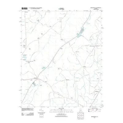
2011 Map of Brooksville
USGS Topo · Published 2011About this map
Brooksville and the surrounding Blount County landscape are defined by a series of narrow valleys and prominent gaps that have historically dictated the movement of people and commerce through this part of Alabama. The map documents numerous gaps in the ridge lines, such as Hobson Gap, Gilbreth Gap, and Cox Gap, which serve as natural corridors for roads like Co Hwy-75. These geographic bottlenecks concentrated early settlement patterns and transport routes.
Find a feature on this map
112 named features on this map. Tap any name to fly to it.
Don’t see what you’re looking for? This feature index may not catch every label — zoom into the map to look around manually.
Map Details
Editions of this 2011 Brooksville Map
This is the sole edition of this map. No revisions or reprints were ever made.
Other maps of this area

1885 · Gadsden
USGS Topo · 1:125,000

1888 · Cullman
USGS Topo · 1:125,000

1888 · Gadsden
USGS Topo · 1:125,000

1892 · Cullman
USGS Topo · 1:125,000

1892 · Gadsden
USGS Topo · 1:125,000

1895 · Gadsden
USGS Topo · 1:125,000

1903 · Gadsden
USGS Topo · 1:125,000

1936 · Guntersville
USGS Topo · 1:24,000

1936 · Hulaco
USGS Topo · 1:24,000

1936 · Arab
USGS Topo · 1:24,000