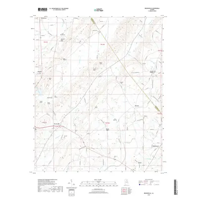
2018 Map of Brooksville
USGS Topo · Published 2018About this map
The Tennessee Valley Divide cuts through this portion of the northern Alabama highlands, separating the waters flowing toward the Tennessee River from those feeding the Locust Fork of the Black Warrior River. This geographic spine is flanked by a series of prominent gaps and valleys, including Gilbreth Gap, Cox Gap, and Browns Valley. The settlement pattern is defined by agricultural and residential clusters along these corridors, with Brooksville and Snead serving as primary hubs.
Find a feature on this map
118 named features on this map. Tap any name to fly to it.
Don’t see what you’re looking for? This feature index may not catch every label — zoom into the map to look around manually.
Map Details
Editions of this 2018 Brooksville Map
This is the sole edition of this map. No revisions or reprints were ever made.
Other maps of this area

1885 · Gadsden
USGS Topo · 1:125,000

1888 · Cullman
USGS Topo · 1:125,000

1888 · Gadsden
USGS Topo · 1:125,000

1892 · Cullman
USGS Topo · 1:125,000

1892 · Gadsden
USGS Topo · 1:125,000

1895 · Gadsden
USGS Topo · 1:125,000

1903 · Gadsden
USGS Topo · 1:125,000

1936 · Guntersville
USGS Topo · 1:24,000

1936 · Hulaco
USGS Topo · 1:24,000

1936 · Arab
USGS Topo · 1:24,000