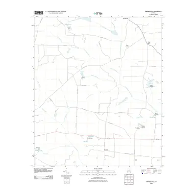
2011 Map of Brooksville
USGS Topo · Published 2011About this map
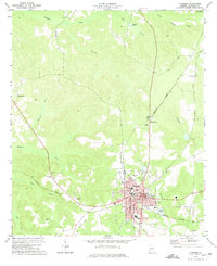
Brooksville sits at a crossroads in the northern reaches of this rural landscape, where agriculture and water management define the local geography. The area is characterized by an extensive network of small dams and impoundments, including Jackson Lake Dam, Wheely Lake Dam, and the Flint River Girl Scout Lake Dam, which create reliable water sources for the surrounding farms. These reservoirs are fed by numerous tributaries such as Little Ichawaynochaway Creek and Pachitla Creek, which carve through the terrain and eventually reach Pachitla in the south.
Find a feature on this map
53 named features on this map. Tap any name to fly to it.
Don’t see what you’re looking for? This feature index may not catch every label — zoom into the map to look around manually.
Map Details
Editions of this 2011 Brooksville Map
This is the sole edition of this map. No revisions or reprints were ever made.
Other maps of this area

1953 · Dothan
USGS Topo · 1:250,000

1954 · Dothan
USGS Topo · 1:250,000

1955 · Dothan
USGS Topo · 1:250,000

1972 · Parrott
USGS Topo · 1:24,000
1972 · Benevolence
USGS Topo · 1:24,000

1972 · Shellman
USGS Topo · 1:24,000
1972 · County Line
USGS Topo · 1:24,000
1972 · Brooksville
USGS Topo · 1:24,000
1972 · Cuthbert
USGS Topo · 1:24,000

1973 · Martins Crossroads
USGS Topo · 1:24,000