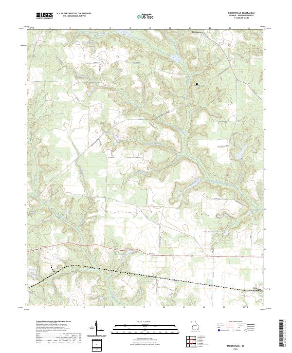
2024 Map of Brooksville
USGS Topo · Published 2024About this map
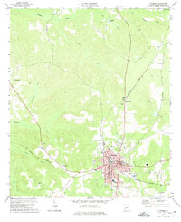
Brooksville and the surrounding agricultural lands of Randolph County are defined by a dense network of watercourses that feed the Little Ichawaynochaway Creek and Pachitla Creek systems. This landscape is marked by a transition from the structured street grids of Shellman in the southeast corner to the winding rural roads like Richland Rd and Benevolence Hwy that follow the natural contours of the terrain. The presence of Pachitla along the southern rail corridor highlights the historical importance of transit in this corner of Georgia, while smaller landmarks like Margus Cem and the Flint River Girl Scout Lake provide specific points of interest for local historians. Numerous named branches, such as Pittmans Mill-Branch and Soapstone Branch, illustrate a highly dissected topography where water management and milling once shaped local settlement patterns.
Find a feature on this map
52 named features on this map. Tap any name to fly to it.
Don’t see what you’re looking for? This feature index may not catch every label — zoom into the map to look around manually.
Map Details
Editions of this 2024 Brooksville Map
This is the sole edition of this map. No revisions or reprints were ever made.
Other maps of this area

1953 · Dothan
USGS Topo · 1:250,000

1954 · Dothan
USGS Topo · 1:250,000

1955 · Dothan
USGS Topo · 1:250,000

1972 · Parrott
USGS Topo · 1:24,000
1972 · Benevolence
USGS Topo · 1:24,000

1972 · Shellman
USGS Topo · 1:24,000
1972 · County Line
USGS Topo · 1:24,000
1972 · Brooksville
USGS Topo · 1:24,000
1972 · Cuthbert
USGS Topo · 1:24,000

1973 · Martins Crossroads
USGS Topo · 1:24,000