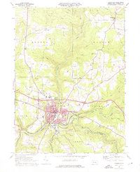
1969 Map of Brookville
USGS Topo · Published 1976About this map
Brookville serves as the focal point of this Jefferson County survey, situated at the confluence where the North Fork and Sandy Lick Creek join to form Redbank Creek. The town's mid-century infrastructure is well-defined, showing the Courthouse, several local schools such as Northside East School, and the local Recreation Area. Beyond the borough limits, the landscape is heavily influenced by the extraction of natural resources, with an expansive Gas Field and numerous gas wells scattered across the northern townships of Eldred and Warsaw. Transportation patterns are dictated by the rugged creek valleys, which are shared by the automotive routes and the tracks of the Pittsburg and Shawmut and Penn Central railroads. Smaller outlying settlements like Richardsville and Alaska remain connected to the regional hub, while local landmarks such as Kirkman Church and Moorhead Cemetery provide specific points of interest for those tracing family history in the area.
Find a feature on this map
52 named features on this map. Tap any name to fly to it.
Don’t see what you’re looking for? This feature index may not catch every label — zoom into the map to look around manually.
Map Details
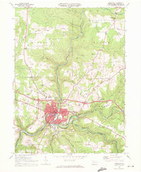
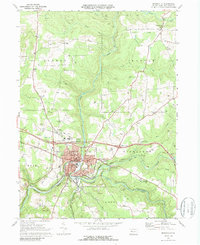
Editions of this 1969 Brookville Map
Other maps of this area

1918 · Loleta
USGS Topo · 1:62,500

1922 · Du Bois
USGS Topo · 1:62,500

1924 · Du Bois
USGS Topo · 1:62,500

1924 · Brookville
USGS Topo · 1:62,500

1926 · Brookville
USGS Topo · 1:62,500

1936 · Marienville
USGS Topo · 1:48,000

1940 · Hallton
USGS Topo · 1:48,000

1941 · Marienville
USGS Topo · 1:62,500

1943 · Hallton
USGS Topo · 1:62,500

1944 · Du Bois
USGS Topo · 1:62,500