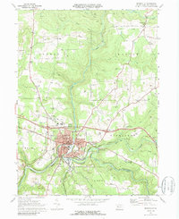
1969 Map of Brookville
USGS Topo · Published 1988About this map
The confluence of North Fork and Sandy Lick Creek defines the local geography of Brookville, a thriving Jefferson County seat at the close of the 1960s. This survey illustrates the intricate relationship between the borough and its surrounding townships, including Rose and Pinecreek, where the rugged topography is punctuated by numerous Gas Wells and a Gas Field in the southeast. The community infrastructure is densely detailed, showing the Courthouse and several educational institutions like Northside East Sch and High Sch.
Find a feature on this map
59 named features on this map. Tap any name to fly to it.
Don’t see what you’re looking for? This feature index may not catch every label — zoom into the map to look around manually.
Map Details
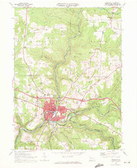
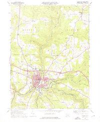
Editions of this 1969 Brookville Map
Other maps of this area

1918 · Loleta
USGS Topo · 1:62,500

1922 · Du Bois
USGS Topo · 1:62,500

1924 · Du Bois
USGS Topo · 1:62,500

1924 · Brookville
USGS Topo · 1:62,500

1926 · Brookville
USGS Topo · 1:62,500

1936 · Marienville
USGS Topo · 1:48,000

1940 · Hallton
USGS Topo · 1:48,000

1941 · Marienville
USGS Topo · 1:62,500

1943 · Hallton
USGS Topo · 1:62,500

1944 · Du Bois
USGS Topo · 1:62,500