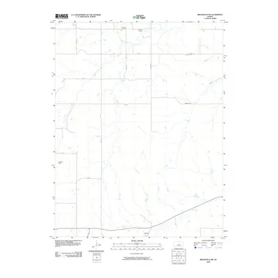
2009 Map of Brookville SW
USGS Topo · Published 2009About this map
Arcola sits along the southern edge of this landscape in the Smoky Hills of central Kansas. This 2009 survey reveals a primarily agricultural region defined by a grid of rural routes including W Armstrong Rd and Crawford Rd. The local drainage pattern is marked by several named watercourses, notably Mulberry Creek and Eff Creek, which meander through the prairie sections. Genealogy researchers will find the Mulberry Cemetery in the northern portion of the quadrangle, serving as a landmark for the surrounding community. Other specialized land use is evident at Belcher Airport, a small aviation facility positioned north of Ave B. The map illustrates the quiet, rural character of Ellsworth County, where small-scale infrastructure like Ave F and Ave G connects isolated farmsteads and creek crossings.
Find a feature on this map
19 named features on this map. Tap any name to fly to it.
Don’t see what you’re looking for? This feature index may not catch every label — zoom into the map to look around manually.
Map Details
Editions of this 2009 Brookville SW Map
This is the sole edition of this map. No revisions or reprints were ever made.
Other maps of this area

1892 · Salina
USGS Topo · 1:125,000

1894 · Ellsworth
USGS Topo · 1:125,000

1942 · Salina
USGS Topo · 1:125,000

1955 · Brookville
USGS Topo · 1:24,000

1955 · Culver
USGS Topo · 1:24,000

1955 · Falun
USGS Topo · 1:24,000

1955 · Great Bend
USGS Topo · 1:250,000

1955 · Hutchinson
USGS Topo · 1:250,000

1957 · Great Bend
USGS Topo · 1:250,000

1957 · Brookville SW
USGS Topo · 1:24,000