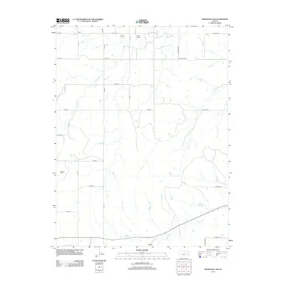
2012 Map of Brookville SW
USGS Topo · Published 2012About this map
Mulberry Cr and its numerous tributaries, including Table Rock Cr and Eff Cr, carve through the distinctive Smoky Hills terrain of Ellsworth County. This landscape is defined by a rigorous grid of section-line roads such as Avenue A and 28th Rd, reflecting the enduring settlement patterns of the Kansas plains. Near the northern boundary, Mulberry Cem serves as a quiet landmark for local genealogical research, while the presence of Belcher Airport and the settlement of Arcola along the southern rail corridor indicate the region's modern transportation links. The map reveals how the natural drainage of W Spring Cr interacts with man-made infrastructure, showcasing a rural environment where agriculture and tradition persist alongside 21st-century developments.
Find a feature on this map
29 named features on this map. Tap any name to fly to it.
Don’t see what you’re looking for? This feature index may not catch every label — zoom into the map to look around manually.
Map Details
Editions of this 2012 Brookville SW Map
This is the sole edition of this map. No revisions or reprints were ever made.
Other maps of this area

1892 · Salina
USGS Topo · 1:125,000

1894 · Ellsworth
USGS Topo · 1:125,000

1942 · Salina
USGS Topo · 1:125,000

1955 · Brookville
USGS Topo · 1:24,000

1955 · Culver
USGS Topo · 1:24,000

1955 · Falun
USGS Topo · 1:24,000

1955 · Great Bend
USGS Topo · 1:250,000

1955 · Hutchinson
USGS Topo · 1:250,000

1957 · Great Bend
USGS Topo · 1:250,000

1957 · Brookville SW
USGS Topo · 1:24,000