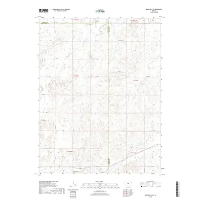
2018 Map of Brookville SW
USGS Topo · Published 2018About this map
Arcola sits along the southern edge of this landscape where Saline and Ellsworth counties meet. The terrain is defined by the Smoky Hills, featuring distinctive landforms like Table-Rock Gulch in the north and the high point of Buzzard Roost near the southern border. Drainage for the region is provided by several waterways, including Mulberry Cr and Eff Cr, which carve through the undulating prairie.
Find a feature on this map
38 named features on this map. Tap any name to fly to it.
Don’t see what you’re looking for? This feature index may not catch every label — zoom into the map to look around manually.
Map Details
Editions of this 2018 Brookville SW Map
This is the sole edition of this map. No revisions or reprints were ever made.
Other maps of this area

1892 · Salina
USGS Topo · 1:125,000

1894 · Ellsworth
USGS Topo · 1:125,000

1942 · Salina
USGS Topo · 1:125,000

1955 · Brookville
USGS Topo · 1:24,000

1955 · Culver
USGS Topo · 1:24,000

1955 · Falun
USGS Topo · 1:24,000

1955 · Great Bend
USGS Topo · 1:250,000

1955 · Hutchinson
USGS Topo · 1:250,000

1957 · Great Bend
USGS Topo · 1:250,000

1957 · Brookville SW
USGS Topo · 1:24,000