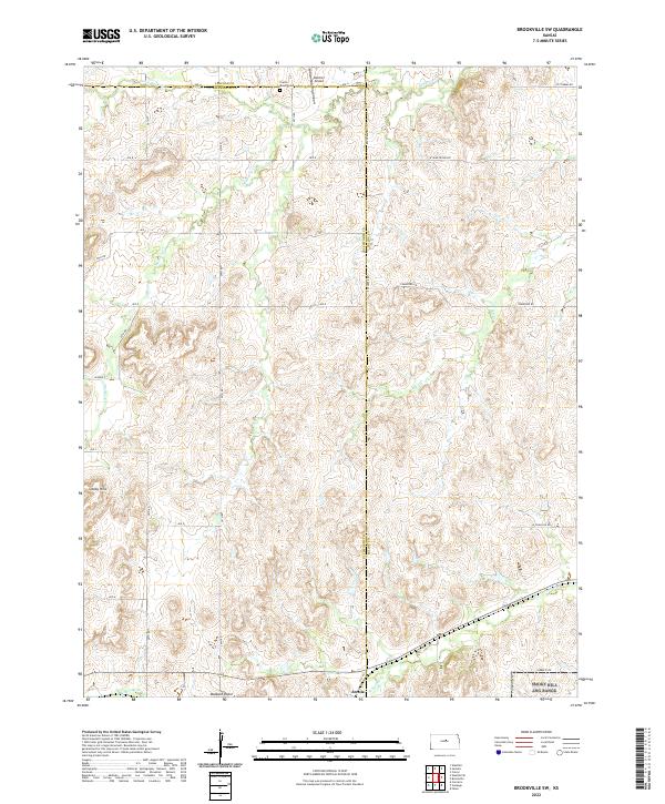
2022 Map of Brookville SW
USGS Topo · Published 2022About this map
The Smoky Hills dominate this section of the Kansas landscape, where the headwaters and tributaries of several local drainages carve through the terrain. The map captures the intersection of three counties — Lincoln, Ellsworth, and Saline — providing a clear view of the regional boundary lines and the rural road network that follows the section lines. Small points of historical interest include the Prairie Mound Cem and Belcher Airport in the northern reach, while the southern edge features the small settlement area of Arecola and the distinctively named Buzzard Roost. This area is defined by its water system, with Mulberry Cr, W Spring Cr, and Table Rock Cr winding through the hills, illustrating the natural drainage patterns that have dictated local land use and settlement for generations.
Find a feature on this map
31 named features on this map. Tap any name to fly to it.
Don’t see what you’re looking for? This feature index may not catch every label — zoom into the map to look around manually.
Map Details
Editions of this 2022 Brookville SW Map
This is the sole edition of this map. No revisions or reprints were ever made.
Other maps of this area

1892 · Salina
USGS Topo · 1:125,000

1894 · Ellsworth
USGS Topo · 1:125,000

1942 · Salina
USGS Topo · 1:125,000

1955 · Brookville
USGS Topo · 1:24,000

1955 · Culver
USGS Topo · 1:24,000

1955 · Falun
USGS Topo · 1:24,000

1955 · Great Bend
USGS Topo · 1:250,000

1955 · Hutchinson
USGS Topo · 1:250,000

1957 · Great Bend
USGS Topo · 1:250,000

1957 · Brookville SW
USGS Topo · 1:24,000