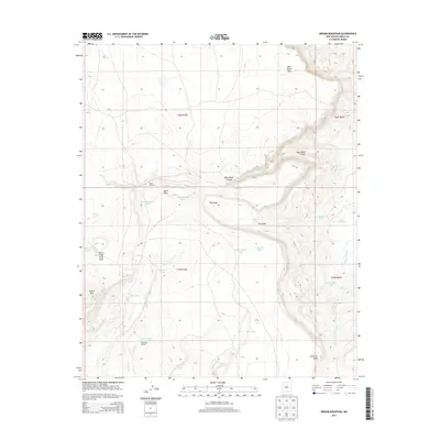
2013 Map of Broom Mountain
USGS Topo · Published 2013About this map
Broom Mtn stands as a prominent landmark in this high-desert region of Cibola County, where the landscape is defined by massive mesas and intricate drainage systems. The terrain transitions from the broad Blue Water Mesa and Ward Mesa into the deep incision of Blue Water Canyon. Water management is central to the human footprint here, evidenced by a network of catchments and windmills including the Henderson Reservoir, Red Windmill Tank, and Ward Windmill, which support ranching across the township lines. Historic naming patterns are visible in features like The Alcon and Victorino Mesa, while natural landmarks such as Seven Cedar Trees Mesa and Apache Spring provide specific points of interest for those tracing the environmental and cultural geography of the New Mexico interior.
Find a feature on this map
34 named features on this map. Tap any name to fly to it.
Don’t see what you’re looking for? This feature index may not catch every label — zoom into the map to look around manually.
Map Details
Editions of this 2013 Broom Mountain Map
This is the sole edition of this map. No revisions or reprints were ever made.
Other maps of this area

1917 · Cerro Verde
USGS Topo · 1:125,000

1917 · Broom Mountain
USGS Topo · 1:125,000

1954 · Socorro
USGS Topo · 1:250,000

1958 · Socorro
USGS Topo · 1:250,000

1961 · Marmon Ranch
USGS Topo · 1:24,000
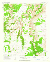
1961 · East Mesa
USGS Topo · 1:24,000
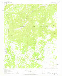
1961 · Blue Mesa
USGS Topo · 1:24,000

1962 · Socorro
USGS Topo · 1:250,000

1964 · Wiley Mesa
USGS Topo · 1:24,000

1964 · Field Ranch
USGS Topo · 1:24,000