
1964 Map of Wiley Mesa
USGS Topo · Published 1967About this map
Wiley Mesa dominates this 1964 high-desert landscape at the intersection of Valencia, Socorro, and Catron counties. This era of land use is defined by a reliance on widely dispersed water sources, where remote outposts like Manning Cabin and the Barela Well supported ranching operations across the mesas. The terrain is deeply incised by drainages such as Cañon de la Mosca and the Rio Salado, which served as natural conduits for movement through the tablelands.
Find a feature on this map
38 named features on this map. Tap any name to fly to it.
Don’t see what you’re looking for? This feature index may not catch every label — zoom into the map to look around manually.
Map Details
Editions of this 1964 Wiley Mesa Map
This is the sole edition of this map. No revisions or reprints were ever made.
Other maps of this area

1917 · Broom Mountain
USGS Topo · 1:125,000

1954 · Socorro
USGS Topo · 1:250,000

1958 · Socorro
USGS Topo · 1:250,000

1962 · Socorro
USGS Topo · 1:250,000
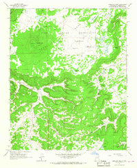
1964 · Cebollita Peak
USGS Topo · 1:24,000

1964 · Table Mountain
USGS Topo · 1:24,000

1964 · Pasture Canyon
USGS Topo · 1:24,000
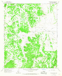
1964 · Mecate Meadow
USGS Topo · 1:24,000
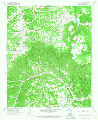
1964 · Wild Horse Canyon
USGS Topo · 1:24,000
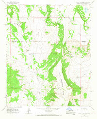
1964 · Pueblo Viejo Mesa
USGS Topo · 1:24,000