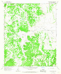
1964 Map of Mecate Meadow
USGS Topo · Published 1967About this map
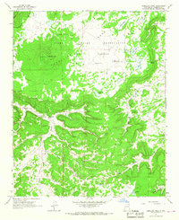
The Acoma Indian Reservation and the adjacent Acoma Purchase dominate this landscape in Valencia County, characterized by a series of high-altitude canyons and meadows. The drainage of Blue Water Creek winds through the central portion of the map, serving as a primary water source in an otherwise arid environment. Evidence of human adaptation to the high desert is visible through an extensive network of windmills and water tanks, many bearing the names of local families such as the Mirabal Windmill, G Owsley Windmill, and Dunn Windmill.
Find a feature on this map
23 named features on this map. Tap any name to fly to it.
Don’t see what you’re looking for? This feature index may not catch every label — zoom into the map to look around manually.
Map Details
Editions of this 1964 Mecate Meadow Map
This is the sole edition of this map. No revisions or reprints were ever made.
Other maps of this area

1917 · Broom Mountain
USGS Topo · 1:125,000

1954 · Socorro
USGS Topo · 1:250,000

1958 · Socorro
USGS Topo · 1:250,000
1961 · East Mesa
USGS Topo · 1:24,000
1961 · Blue Mesa
USGS Topo · 1:24,000
1961 · Laguna Honda
USGS Topo · 1:24,000

1962 · Socorro
USGS Topo · 1:250,000
1964 · Cebollita Peak
USGS Topo · 1:24,000

1964 · Wiley Mesa
USGS Topo · 1:24,000
1964 · Wild Horse Canyon
USGS Topo · 1:24,000