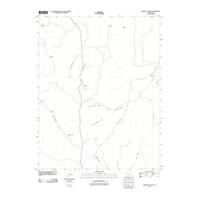
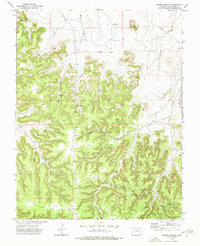
2010 Map of Brown Canyon
USGS Topo · Published 2010About this map
Johnny Branch Mine stands as a primary industrial landmark in this high-plains landscape of Las Animas County, positioned near the drainage of Johnny Creek. The terrain is defined by a network of erosional features, most notably Brown Canyon, Lindsey Canyon, and the sprawling reaches of Deadman Canyon. Water management is central to the area's utility, evidenced by the Funk Reservoir and a series of livestock-supporting landmarks including Barber, Green, Sumpter, and Smith Windmill.
Find a feature on this map
26 named features on this map. Tap any name to fly to it.
Don’t see what you’re looking for? This feature index may not catch every label — zoom into the map to look around manually.
Map Details
Editions of this 2010 Brown Canyon Map
This is the sole edition of this map. No revisions or reprints were ever made.
Other maps of this area

1891 · Higbee
USGS Topo · 1:125,000

1892 · Mt Carrizo
USGS Topo · 1:125,000

1893 · Higbee
USGS Topo · 1:125,000

1955 · La Junta
USGS Topo · 1:250,000

1958 · La Junta
USGS Topo · 1:250,000

1968 · La Junta
USGS Topo · 1:250,000
1971 · Ninaview
USGS Topo · 1:24,000
1971 · Plug Hat Ranch
USGS Topo · 1:24,000
1972 · Rock Canyon
USGS Topo · 1:24,000
1972 · Brown Canyon
USGS Topo · 1:24,000