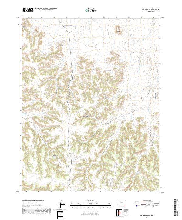
2022 Map of Brown Canyon
USGS Topo · Published 2022About this map
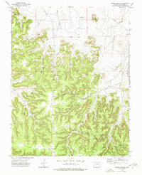
Brown Spring and the drainage of Muddy Cr define this pocket of Las Animas County, where the high plains break into a complex system of deep draws and mesas. The landscape is marked by significant vertical relief, from the prominent Lone Mesa in the north to the sprawling network of the North Deadman Canyon and South Deadman Canyon systems. These natural features dictated the early routing of transit, with Route 109 following the path of Lindsey Canyon to navigate between the high points of Kim Hill and Long Canyon Hill.
Find a feature on this map
29 named features on this map. Tap any name to fly to it.
Don’t see what you’re looking for? This feature index may not catch every label — zoom into the map to look around manually.
Map Details
Editions of this 2022 Brown Canyon Map
This is the sole edition of this map. No revisions or reprints were ever made.
Other maps of this area

1891 · Higbee
USGS Topo · 1:125,000

1892 · Mt Carrizo
USGS Topo · 1:125,000

1893 · Higbee
USGS Topo · 1:125,000

1955 · La Junta
USGS Topo · 1:250,000

1958 · La Junta
USGS Topo · 1:250,000

1968 · La Junta
USGS Topo · 1:250,000
1971 · Ninaview
USGS Topo · 1:24,000
1971 · Plug Hat Ranch
USGS Topo · 1:24,000
1972 · Rock Canyon
USGS Topo · 1:24,000
1972 · Brown Canyon
USGS Topo · 1:24,000