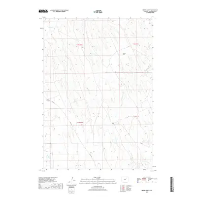
2017 Map of Brown Ranch
USGS Topo · Published 2017About this map
Brown Ranch sits at the heart of this high plains landscape in Johnson County, illustrating the enduring pastoral character of northern Wyoming. The drainage systems of Crazy Woman Cr and the various branches of Fourmile Creek, including N Fork Fourmile Cr and S Fork Fourmile Cr, dictate the movement of roads and the placement of remote ranching outposts. Local transit is defined by the winding paths of Irigaray Rd and Nine Mile Rd, which navigate the elevation changes between Dry Gulch and Walker Draw. This 2017 survey reflects the persistent geography of the Powder River Basin, where land use remains closely tied to the seasonal flow of waterways like Trabing Dry Cr and the vast spans of the Public Land Survey System.
Find a feature on this map
13 named features on this map. Tap any name to fly to it.
Don’t see what you’re looking for? This feature index may not catch every label — zoom into the map to look around manually.
Map Details
Editions of this 2017 Brown Ranch Map
This is the sole edition of this map. No revisions or reprints were ever made.
Other maps of this area

1900 · Fort McKinney
USGS Topo · 1:125,000

1903 · Fort McKinney
USGS Topo · 1:125,000

1955 · Sheridan
USGS Topo · 1:250,000

1955 · Arminto
USGS Topo · 1:250,000

1958 · Sheridan
USGS Topo · 1:250,000

1958 · Arminto
USGS Topo · 1:250,000

1961 · Antelope Draw
USGS Topo · 1:24,000

1961 · Provence Ranch
USGS Topo · 1:24,000

1961 · Elaine Draw
USGS Topo · 1:24,000

1962 · Sheridan
USGS Topo · 1:250,000