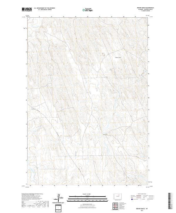
2021 Map of Brown Ranch
USGS Topo · Published 2021About this map
Brown Ranch sits at the heart of this high-plains landscape in Johnson County, illustrating the enduring nature of rangeland operations in northern Wyoming. The drainage systems of Crazy Woman Cr and N Fork Fourmile Cr define the movement of water through the terrain, joined by seasonal features like Dry Gulch and Walker Draw. Transportation in this modern era follows long-established corridors such as Irigaray Rd and Nine Mile Rd, which cut across the surveyed boundaries of townships T48N R80W and T47N R79W. The presence of Trabing Dry Cr and S Fork Fourmile Cr further clarifies the hydrological character of the area, providing a precise record for land managers and local historians tracking water rights and property boundaries in this livestock-oriented region.
Find a feature on this map
13 named features on this map. Tap any name to fly to it.
Don’t see what you’re looking for? This feature index may not catch every label — zoom into the map to look around manually.
Map Details
Editions of this 2021 Brown Ranch Map
This is the sole edition of this map. No revisions or reprints were ever made.
Other maps of this area

1900 · Fort McKinney
USGS Topo · 1:125,000

1903 · Fort McKinney
USGS Topo · 1:125,000

1955 · Sheridan
USGS Topo · 1:250,000

1955 · Arminto
USGS Topo · 1:250,000

1958 · Sheridan
USGS Topo · 1:250,000

1958 · Arminto
USGS Topo · 1:250,000

1961 · Antelope Draw
USGS Topo · 1:24,000

1961 · Provence Ranch
USGS Topo · 1:24,000

1961 · Elaine Draw
USGS Topo · 1:24,000

1962 · Sheridan
USGS Topo · 1:250,000