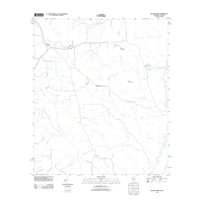
2012 Map of Brown Town
USGS Topo · Published 2012About this map
The Escatawpa River meanders along the eastern border of this Mississippi-Alabama line region, defining a landscape of creek-fed ridges and local family settlements. The community of Pisgah is anchored by the Mount Pisgah Cem near the intersection of several local thoroughfares, while further south lies Brown Town and the Maples Cem. The terrain is characterized by distinctive elevations such as Mash Fork Ridge and Lott Fork Ridge, which rise between the drainages of Nobodies Cr and Brushy Cr.
Find a feature on this map
57 named features on this map. Tap any name to fly to it.
Don’t see what you’re looking for? This feature index may not catch every label — zoom into the map to look around manually.
Map Details
Editions of this 2012 Brown Town Map
This is the sole edition of this map. No revisions or reprints were ever made.
Other maps of this area

1941 · Lucedale
USGS Topo · 1:62,500

1942 · Deer Park
USGS Topo · 1:62,500

1942 · Wilmer
USGS Topo · 1:62,500

1943 · Lucedale
USGS Topo · 1:62,500

1943 · Deer Park
USGS Topo · 1:62,500

1944 · Wilmer
USGS Topo · 1:62,500

1953 · Hattiesburg
USGS Topo · 1:250,000

1953 · Mobile
USGS Topo · 1:250,000

1957 · Mobile
USGS Topo · 1:250,000

1958 · Hattiesburg
USGS Topo · 1:250,000