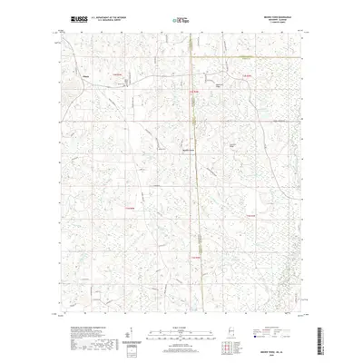
2020 Map of Brown Town
USGS Topo · Published 2020About this map
Brown Town and the neighboring community of Pisgah anchor this 2020 landscape where the borders of Greene, Washington, and Mobile counties converge along the Mississippi-Alabama state line. The terrain is defined by a dense network of tributaries including Brushy Creek, Pond Cr, and Islet Cr that feed toward the Escatawpa River in the southeast. For genealogists and local historians, the map documents significant cultural landmarks such as Mount Pisgah Cem and Maples Cem, alongside family-named geography like Mash Fork Ridge and Lott Fork Ridge. The rural infrastructure is detailed through a web of local connectors like Brushy Creek Rd and Earlville Rd, reaching into timbered areas and small pastures. A singular mention of Cattle Gap in the southern section provides a specific indicator of local land use and agricultural boundaries during this period.
Find a feature on this map
65 named features on this map. Tap any name to fly to it.
Don’t see what you’re looking for? This feature index may not catch every label — zoom into the map to look around manually.
Map Details
Editions of this 2020 Brown Town Map
This is the sole edition of this map. No revisions or reprints were ever made.
Other maps of this area

1941 · Lucedale
USGS Topo · 1:62,500

1942 · Deer Park
USGS Topo · 1:62,500

1942 · Wilmer
USGS Topo · 1:62,500

1943 · Lucedale
USGS Topo · 1:62,500

1943 · Deer Park
USGS Topo · 1:62,500

1944 · Wilmer
USGS Topo · 1:62,500

1953 · Hattiesburg
USGS Topo · 1:250,000

1953 · Mobile
USGS Topo · 1:250,000

1957 · Mobile
USGS Topo · 1:250,000

1958 · Hattiesburg
USGS Topo · 1:250,000