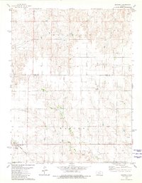
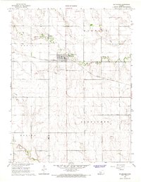
1980 Map of Brownell
USGS Topo · Published 1981About this map
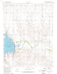
Brownell stands as the primary settlement in this western Kansas landscape, situated in the southwest corner where the Missouri Pacific railroad line cuts through the prairie. The geography is defined by the transition between the Waring and Riverside townships, marked by a series of intermittent draws and significant terrain features like Goat Canyon and the distinctively named Round House Rock.
Find a feature on this map
11 named features on this map. Tap any name to fly to it.
Don’t see what you’re looking for? This feature index may not catch every label — zoom into the map to look around manually.
Map Details
Editions of this 1980 Brownell Map
This is the sole edition of this map. No revisions or reprints were ever made.
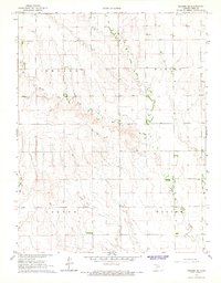
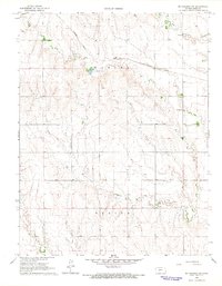
Other maps of this area

1893 · Ellis
USGS Topo · 1:125,000

1955 · Great Bend
USGS Topo · 1:250,000

1957 · Great Bend
USGS Topo · 1:250,000

1958 · Great Bend
USGS Topo · 1:250,000
1965 · Mc Cracken
USGS Topo · 1:24,000
1966 · Ransom SE
USGS Topo · 1:24,000
1966 · Mc Cracken SW
USGS Topo · 1:24,000
1974 · Cedar Bluff Dam
USGS Topo · 1:24,000
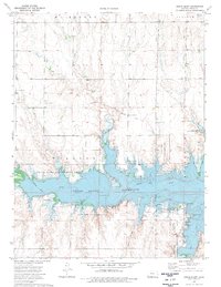
1974 · Cedar Bluff
USGS Topo · 1:24,000

1974 · Ellis SE
USGS Topo · 1:24,000