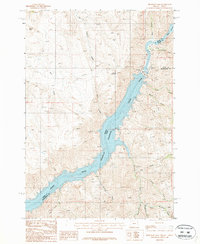
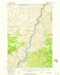
1987 Map of Brownlee Dam
USGS Topo · Published 1987About this map
The Snake River carves a deep, winding path through the borderlands of Oregon and Idaho, dominated here by the expansive Brownlee Reservoir. This 1980s topography highlights the massive scale of the Brownlee Dam, a central fixture that transformed the drainage patterns of the Hells Canyon region. The map captures the complex shoreline and steep canyon walls, where named features like Ferry Canyon and Black Canyon hint at the historical travel corridors and natural barriers of the Snake River gorge.
Find a feature on this map
26 named features on this map. Tap any name to fly to it.
Don’t see what you’re looking for? This feature index may not catch every label — zoom into the map to look around manually.
Map Details
Editions of this 1987 Brownlee Dam Map
This is the sole edition of this map. No revisions or reprints were ever made.
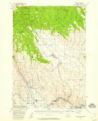
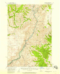
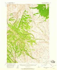
Other maps of this area

1915 · Pine
USGS Topo · 1:125,000

1955 · Baker
USGS Topo · 1:250,000
1957 · Halfway
USGS Topo · 1:62,500
1957 · Copperfield
USGS Topo · 1:62,500
1957 · Sturgill Peak
USGS Topo · 1:62,500
1957 · Mineral
USGS Topo · 1:62,500

1959 · Baker
USGS Topo · 1:250,000

1980 · McCall
USGS Topo · 1:100,000
1981 · Baker
USGS Topo · 1:100,000
1987 · Mc Lain Gulch
USGS Topo · 1:24,000