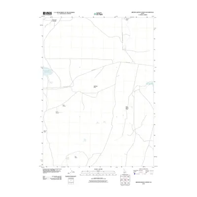
2010 Map of Browns Bench North
USGS Topo · Published 2010About this map
Antelope Spring Ranch and several other named homesteads sit within this high-desert landscape of Twin Falls County, Idaho. The map reveals a pattern of water-dependent settlement, where family names are tied to specific locations like Vosburg Place and Rock House Place. The region is defined by its drainage systems and canyons, including Black Canyon and Rocky Canyon, which lead toward the larger water bodies of Cedar Creek Reservoir and Salmon Falls Creek Reservoir.
Find a feature on this map
20 named features on this map. Tap any name to fly to it.
Don’t see what you’re looking for? This feature index may not catch every label — zoom into the map to look around manually.
Map Details
Editions of this 2010 Browns Bench North Map
This is the sole edition of this map. No revisions or reprints were ever made.
Other maps of this area

1955 · Twin Falls
USGS Topo · 1:250,000

1958 · Twin Falls
USGS Topo · 1:250,000

1964 · Roseworth
USGS Topo · 1:24,000

1965 · Hollister SW
USGS Topo · 1:24,000

1965 · Roseworth SE
USGS Topo · 1:24,000

1977 · Browns Bench South
USGS Topo · 1:24,000

1977 · Cedar Creek Reservoir
USGS Topo · 1:24,000

1977 · Salmon Butte
USGS Topo · 1:24,000

1978 · Taylor Canyon
USGS Topo · 1:24,000

1978 · Browns Bench North
USGS Topo · 1:24,000