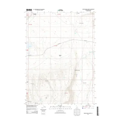
2013 Map of Browns Bench North
USGS Topo · Published 2013About this map
Antelope Spring Ranch and Vosburg Place sit within a high-desert ranching landscape in southern Twin Falls County, where water is the primary driver of human activity. The map reveals a network of essential water sources including Charlie Brackett Spring, Box Spring, and Reynolds Springs, which supported livestock operations in this arid region long before modern irrigation. The topography is dominated by the massive Browns Bench plateau, cut by deep drainages like Antelope Canyon and Black Canyon. The presence of Threemile Crossing and the prominent Three Creek Rd highlights the importance of historical transit routes through the sagebrush. These features, along with the reservoirs at Cedar Cr Reservoir and Salmon Falls Crk Reservoir, illustrate the 21st-century state of a landscape defined by its ranching heritage and geographic isolation.
Find a feature on this map
28 named features on this map. Tap any name to fly to it.
Don’t see what you’re looking for? This feature index may not catch every label — zoom into the map to look around manually.
Map Details
Editions of this 2013 Browns Bench North Map
This is the sole edition of this map. No revisions or reprints were ever made.
Other maps of this area

1955 · Twin Falls
USGS Topo · 1:250,000

1958 · Twin Falls
USGS Topo · 1:250,000

1964 · Roseworth
USGS Topo · 1:24,000

1965 · Hollister SW
USGS Topo · 1:24,000

1965 · Roseworth SE
USGS Topo · 1:24,000

1977 · Browns Bench South
USGS Topo · 1:24,000

1977 · Cedar Creek Reservoir
USGS Topo · 1:24,000

1977 · Salmon Butte
USGS Topo · 1:24,000

1978 · Taylor Canyon
USGS Topo · 1:24,000

1978 · Browns Bench North
USGS Topo · 1:24,000