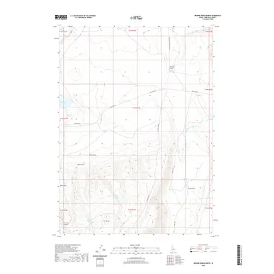
2020 Map of Browns Bench North
USGS Topo · Published 2020About this map
Browns Bench rises above the high desert floor in this detailed 2020 topographic record of Twin Falls County. The landscape is defined by its vital water sources and dramatic elevation changes, centered around the Cedar Creek Reservoir and numerous natural springs. High points such as Bobcat Butte and the Twin Buttes provide overlook positions across a network of drainages including Antelope Canyon, Rocky Canyon, and Monument Canyon.
Find a feature on this map
28 named features on this map. Tap any name to fly to it.
Don’t see what you’re looking for? This feature index may not catch every label — zoom into the map to look around manually.
Map Details
Editions of this 2020 Browns Bench North Map
This is the sole edition of this map. No revisions or reprints were ever made.
Other maps of this area

1955 · Twin Falls
USGS Topo · 1:250,000

1958 · Twin Falls
USGS Topo · 1:250,000

1964 · Roseworth
USGS Topo · 1:24,000

1965 · Hollister SW
USGS Topo · 1:24,000

1965 · Roseworth SE
USGS Topo · 1:24,000

1977 · Browns Bench South
USGS Topo · 1:24,000

1977 · Cedar Creek Reservoir
USGS Topo · 1:24,000

1977 · Salmon Butte
USGS Topo · 1:24,000

1978 · Taylor Canyon
USGS Topo · 1:24,000

1978 · Browns Bench North
USGS Topo · 1:24,000