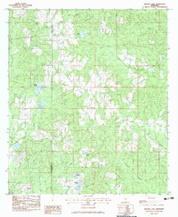
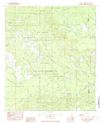
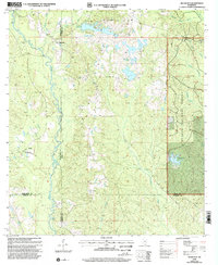
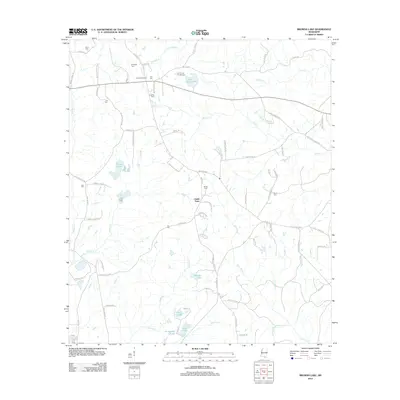
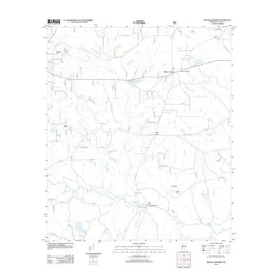
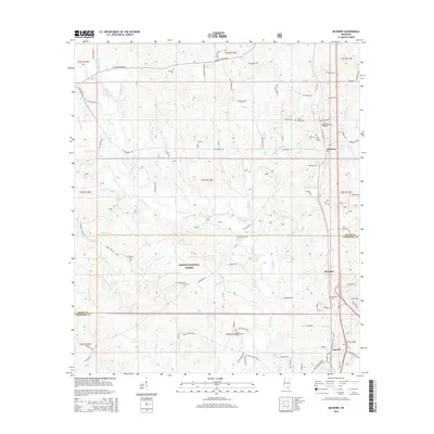
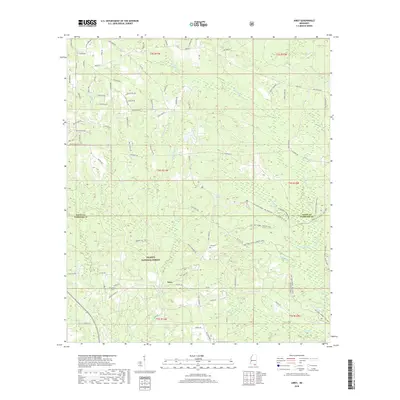
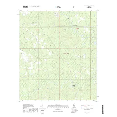
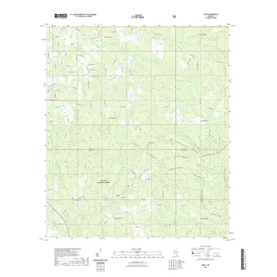
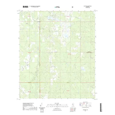
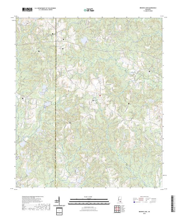
1983 Map of Browns Lake
USGS Topo · Published 1983About this map
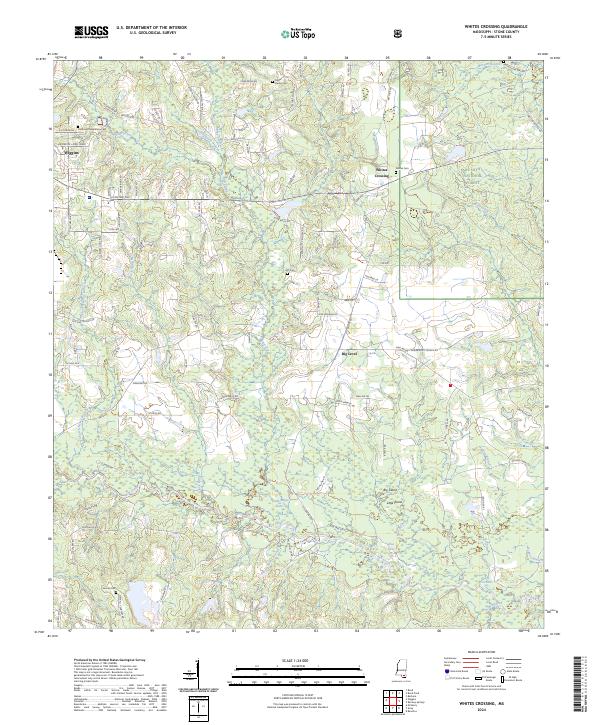
Pearl River and Stone County boundary lines cut through this piney woods landscape in the early 1980s, revealing a rural network of family-named cemeteries and small community centers. Smith Town sits centrally among numerous water features, while several houses of worship such as Red Hill Ch, Red Creek Ch, and Plainview Ch anchor the surrounding countryside.
Find a feature on this map
35 named features on this map. Tap any name to fly to it.
Don’t see what you’re looking for? This feature index may not catch every label — zoom into the map to look around manually.
Map Details
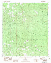
Editions of this 1983 Browns Lake Map
This is the sole edition of this map. No revisions or reprints were ever made.
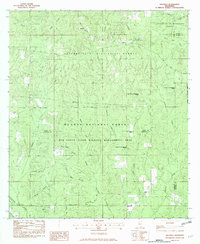
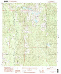
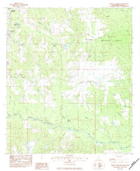
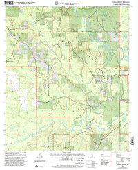
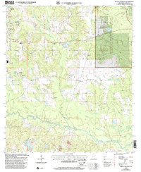
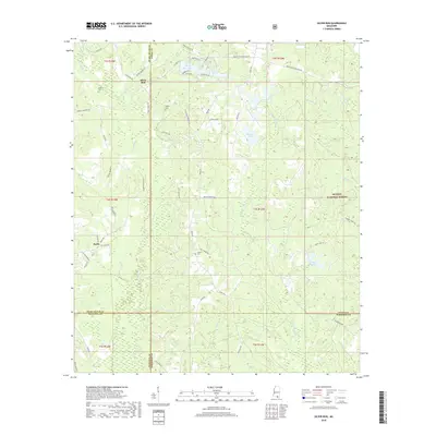
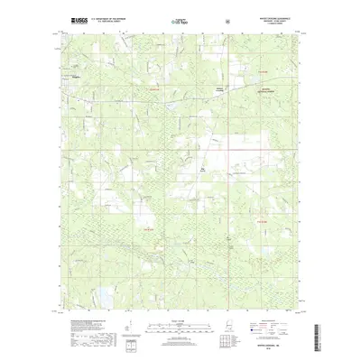
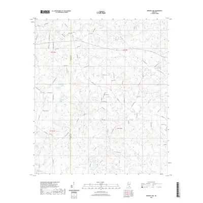
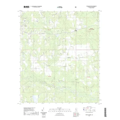
Historical Maps of Smith Town Through Time
45 maps found
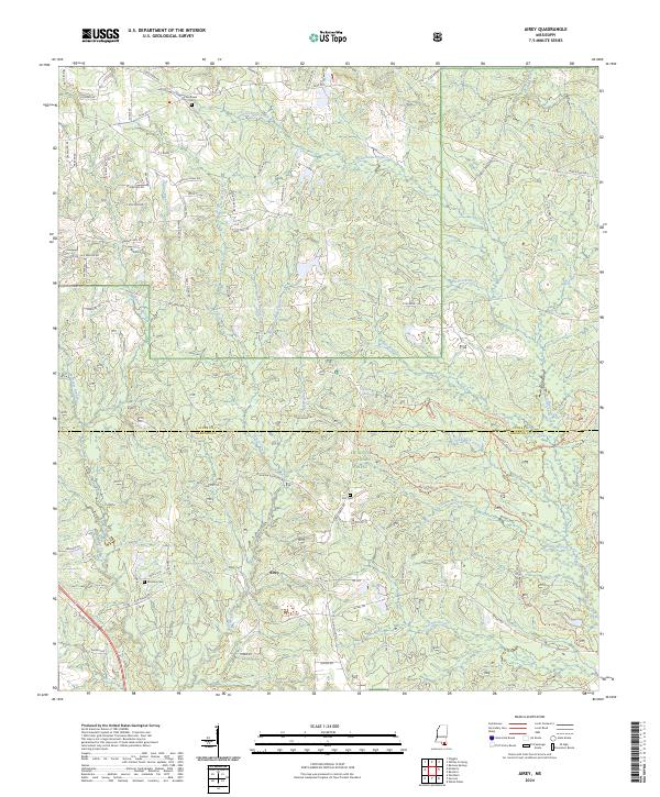
1982 Airey
Stone County, MS
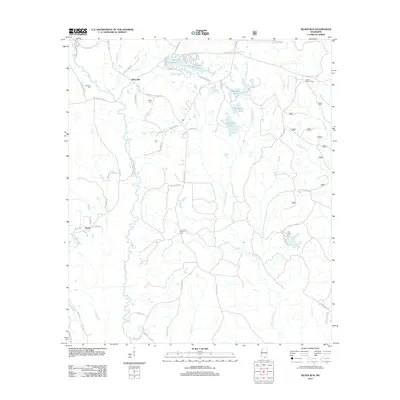
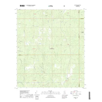
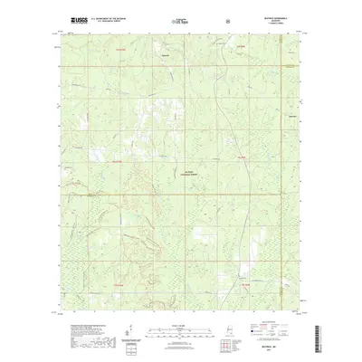
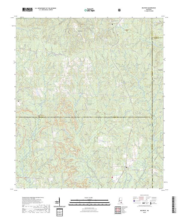
1982 Beatrice
Stone County, MS
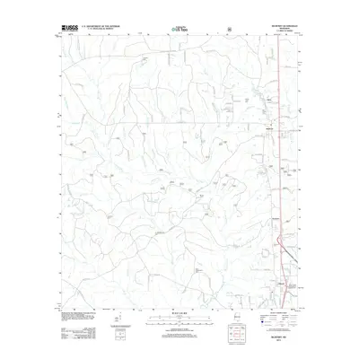
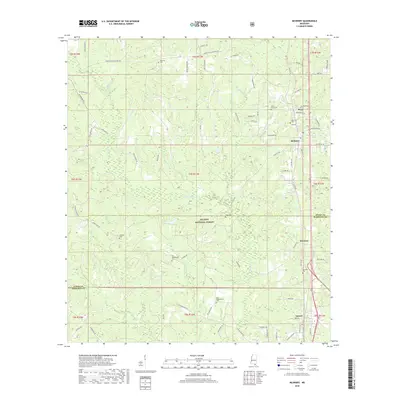
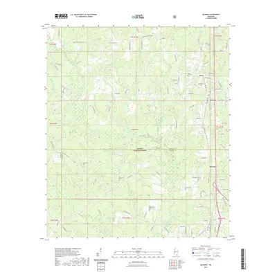
1982 McHenry
Stone County, MS
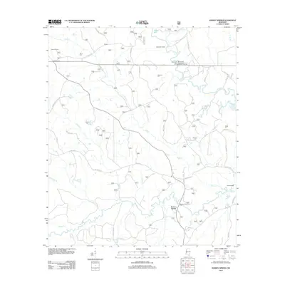
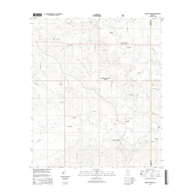
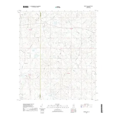
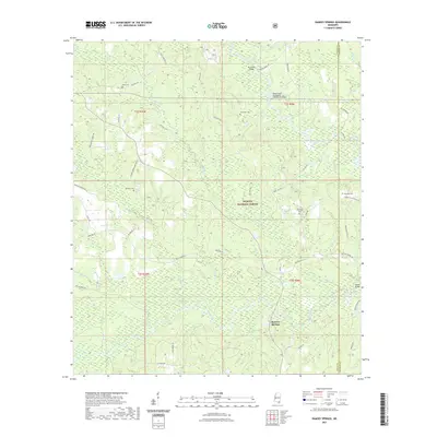
1982 Ramsey Springs
Stone County, MS
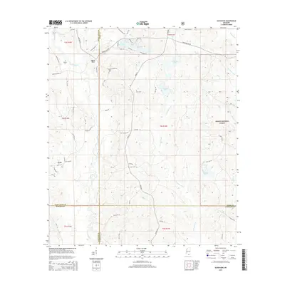
1982 Silver Run
Stone County, MS
1983 Browns Lake
Stone County, MS
1983 Whites Crossing
Stone County, MS
2000 Ramsey Springs
Stone County, MS
2000 Silver Run
Stone County, MS
2000 Whites Crossing
Stone County, MS
2012 Airey
Stone County, MS
2012 Beatrice
Stone County, MS
2012 Browns Lake
Stone County, MS
2012 McHenry
Stone County, MS
2012 Ramsey Springs
Stone County, MS
2012 Silver Run
Stone County, MS
2012 Whites Crossing
Stone County, MS
2015 Airey
Stone County, MS
2015 Beatrice
Stone County, MS
2015 Browns Lake
Stone County, MS
2015 McHenry
Stone County, MS
2015 Ramsey Springs
Stone County, MS
2015 Silver Run
Stone County, MS
2015 Whites Crossing
Stone County, MS
2018 Airey
Stone County, MS
2018 Beatrice
Stone County, MS
2018 Browns Lake
Stone County, MS
2018 McHenry
Stone County, MS
2018 Ramsey Springs
Stone County, MS
2018 Silver Run
Stone County, MS
2018 Whites Crossing
Stone County, MS
2020 Browns Lake
Stone County, MS
2021 Airey
Stone County, MS
2021 Beatrice
Stone County, MS
2021 McHenry
Stone County, MS
2021 Ramsey Springs
Stone County, MS
2021 Silver Run
Stone County, MS
2021 Whites Crossing
Stone County, MS
2024 Airey
Stone County, MS
2024 Beatrice
Stone County, MS
2024 Browns Lake
Stone County, MS
2024 McHenry
Stone County, MS
2024 Ramsey Springs
Stone County, MS
2024 Silver Run
Stone County, MS
2024 Whites Crossing
Stone County, MS