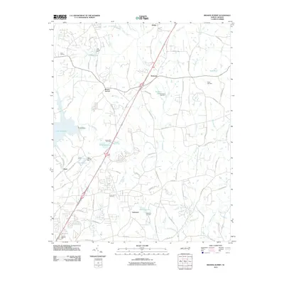
2010 Map of Browns Summit
USGS Topo · Published 2010About this map
Browns Summit and the neighboring settlements of Monticello and Benaja anchor this portion of northern Guilford County, defined by a network of engineered waterways and rural land tracts. The landscape is notably shaped by the headwaters and tributaries of Reedy Fork and North Buffalo Creek, where numerous small-scale dams create a series of localized reservoirs. Significant impoundments like Lake Townsend, Lake Herman, and Hardys Mill Pond illustrate the mid-century transition from mill-driven agriculture to managed water resources and recreation.
Find a feature on this map
78 named features on this map. Tap any name to fly to it.
Don’t see what you’re looking for? This feature index may not catch every label — zoom into the map to look around manually.
Map Details
Editions of this 2010 Browns Summit Map
This is the sole edition of this map. No revisions or reprints were ever made.
Other maps of this area

1951 · Lake Brandt
USGS Topo · 1:24,000

1951 · Browns Summit
USGS Topo · 1:24,000

1951 · Greensboro
USGS Topo · 1:24,000

1952 · Mc Leansville
USGS Topo · 1:24,000

1953 · Greensboro
USGS Topo · 1:250,000

1954 · Greensboro
USGS Topo · 1:250,000

1962 · Greensboro
USGS Topo · 1:250,000

1966 · Greensboro
USGS Topo · 1:250,000

1970 · Gibsonville
USGS Topo · 1:24,000

1970 · Ossipee
USGS Topo · 1:24,000