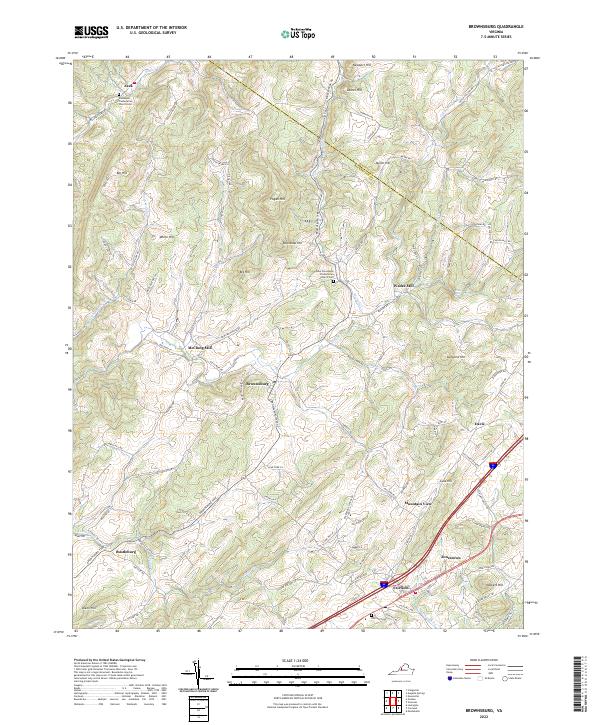
2022 Map of Brownsburg
USGS Topo · Published 2022About this map
The rolling highlands of the Shenandoah Valley intersect at the boundary of Augusta and Rockbridge counties in this detailed study of rural Virginia. The landscape is defined by the winding course of Moffatts Cr and Cedar Cr, which cut through a series of named elevations including Newport Hill and Miller Hill. Historical settlement patterns are evident in the clustering of namesake locations like McClung Mill and Wades Mill, alongside long-established community centers such as Brownsburg and Fairfield.
Find a feature on this map
99 named features on this map. Tap any name to fly to it.
Don’t see what you’re looking for? This feature index may not catch every label — zoom into the map to look around manually.
Map Details
Editions of this 2022 Brownsburg Map
This is the sole edition of this map. No revisions or reprints were ever made.
Other maps of this area

1894 · Staunton
USGS Topo · 1:125,000

1894 · Lexington
USGS Topo · 1:125,000

1932 · Lexington
USGS Topo · 1:48,000

1936 · Vesuvius
USGS Topo · 1:48,000

1937 · Lexington
USGS Topo · 1:62,500

1941 · Vesuvius
USGS Topo · 1:62,500

1943 · Craigsville
USGS Topo · 1:62,500

1944 · Staunton
USGS Topo · 1:62,500

1945 · Craigsville
USGS Topo · 1:62,500

1947 · Staunton
USGS Topo · 1:62,500