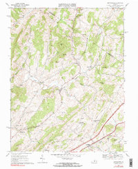
1967 Map of Brownsburg
USGS Topo · Published 1969About this map
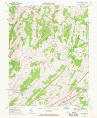
Brownsburg and Fairfield anchor this 1960s survey of the Virginia landscape where the Augusta and Rockbridge County line crosses the rolling hills. The terrain is defined by a dense network of watercourses including Moffatts Creek, Goose Creek, and Hays Creek, which supported early rural industries such as McClung Mill and Wades Mill. The map reflects a deeply established community structure, documenting numerous local landmarks like New Providence Church, McKiwee Chapel, and the Rockbridge High School. An Old Railroad Grade and a utility Pipeline cut through the countryside near Mountain View, illustrating the evolving transportation and infrastructure needs of the mid-20th century. Notable small settlements such as Newport, Bustleburg, and Jonestown are shown with individual building footprints, providing a clear view of local settlement patterns before modern suburban expansion.
Find a feature on this map
43 named features on this map. Tap any name to fly to it.
Don’t see what you’re looking for? This feature index may not catch every label — zoom into the map to look around manually.
Map Details
Editions of this 1967 Brownsburg Map
2 editions found
Other maps of this area

1894 · Staunton
USGS Topo · 1:125,000

1894 · Lexington
USGS Topo · 1:125,000

1932 · Lexington
USGS Topo · 1:48,000

1936 · Vesuvius
USGS Topo · 1:48,000

1937 · Lexington
USGS Topo · 1:62,500

1941 · Vesuvius
USGS Topo · 1:62,500

1943 · Craigsville
USGS Topo · 1:62,500

1944 · Staunton
USGS Topo · 1:62,500

1945 · Craigsville
USGS Topo · 1:62,500

1947 · Staunton
USGS Topo · 1:62,500