2024 Map of Brownstown
USGS Topo · Published 2024About this map
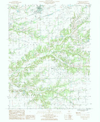
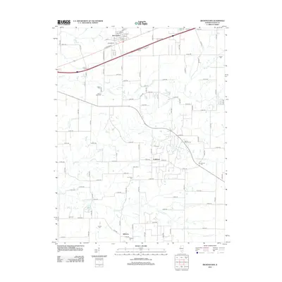
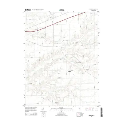
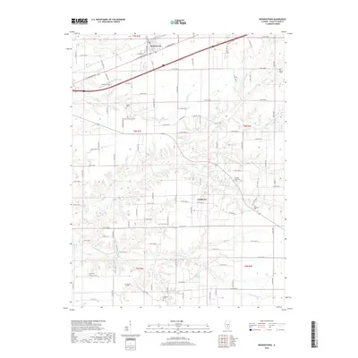
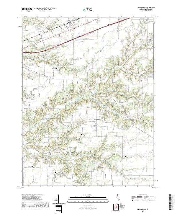
Brownstown serves as a central hub for this portion of Fayette County, where the modern transit corridors of W Cumberland Rd and Interstate 70 cut across a landscape deeply etched by the drainage of Hickory Creek and Little Hickory Creek. The terrain is defined by a dense network of country roads, such as Twin Pumps Rd and S Brownstown Rd, which connect scattered homesteads to the small settlement of Confidence. This modern survey is particularly valuable for genealogical research, preserving the exact locations of numerous small family and community burial grounds including the German Reformed Cem, Old Loogootee Cem, and Winslow Pilcher Cem. The southern reach of the map transitions into the more secluded areas around Gatch Lake, where the grid of county roads yields to the winding paths of the creek bottoms.
Find a feature on this map
88 named features on this map. Tap any name to fly to it.
Don’t see what you’re looking for? This feature index may not catch every label — zoom into the map to look around manually.
Map Details
Editions of this 2024 Brownstown Map
This is the sole edition of this map. No revisions or reprints were ever made.
Historical Maps of Brownstown Through Time
6 maps found