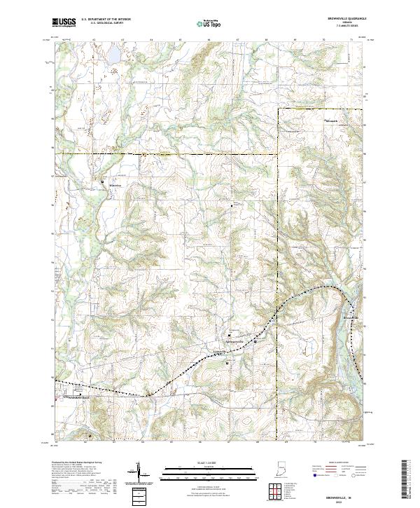
2022 Map of Brownsville
USGS Topo · Published 2022About this map
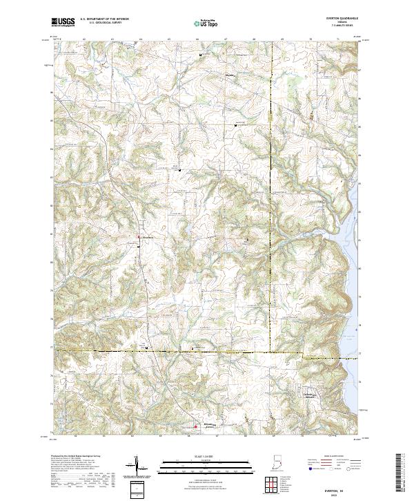
The Whitewater River and its major tributaries, including Nolands Fork, Simpson Cr, and Village Cr, define the eastern Indiana landscape where Fayette, Union, and Wayne counties meet. This survey provides a contemporary look at rural life in the region, centered on small, enduring communities like Springersville, Lyonsville, and Waterloo. The map reveals a dense network of local roads such as W Pottershop Rd and Philomath Rd that connect modern agricultural lands with historical points of interest.
Find a feature on this map
98 named features on this map. Tap any name to fly to it.
Don’t see what you’re looking for? This feature index may not catch every label — zoom into the map to look around manually.
Map Details
Editions of this 2022 Brownsville Map
This is the sole edition of this map. No revisions or reprints were ever made.
Historical Maps of Connersville Through Time
21 maps found
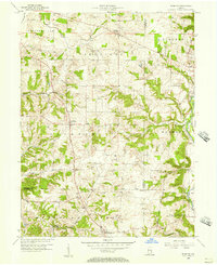
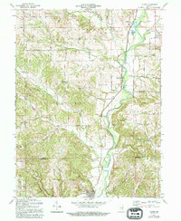
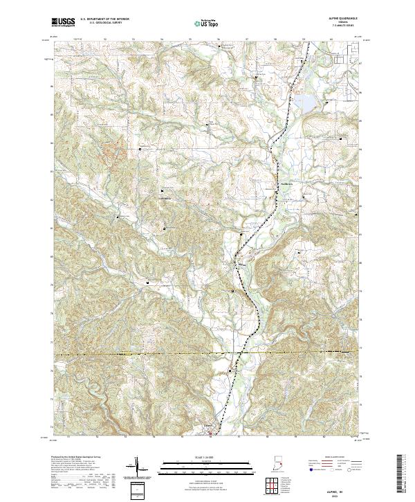
1956 Alpine
Fayette County, IN
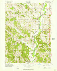
1956 Brownsville
Fayette County, IN
1956 Everton
Fayette County, IN
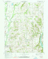
1971 Alpine
Fayette County, IN
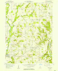
1972 Brownsville
Fayette County, IN
1972 Everton
Fayette County, IN
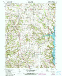
2010 Alpine
Fayette County, IN
2010 Brownsville
Fayette County, IN
2010 Everton
Fayette County, IN
2013 Alpine
Fayette County, IN
2013 Brownsville
Fayette County, IN
2013 Everton
Fayette County, IN
2016 Alpine
Fayette County, IN
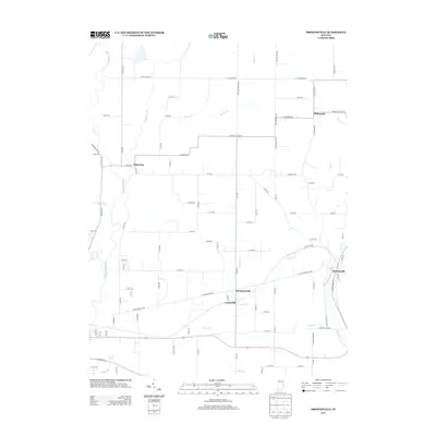
2016 Brownsville
Fayette County, IN
2016 Everton
Fayette County, IN
2019 Alpine
Fayette County, IN
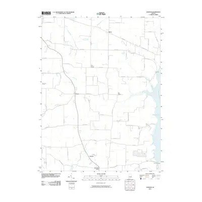
2019 Brownsville
Fayette County, IN
2019 Everton
Fayette County, IN
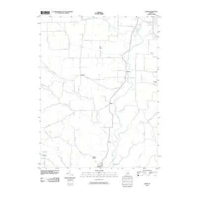
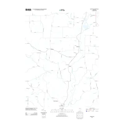
2022 Alpine
Fayette County, IN
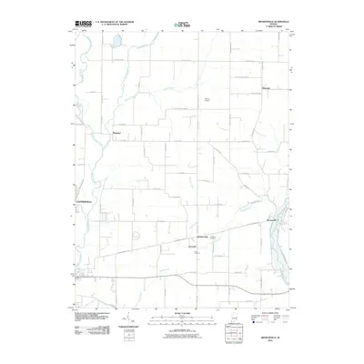
2022 Brownsville
Fayette County, IN
2022 Everton
Fayette County, IN