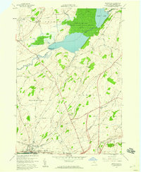
1958 Map of Brownville
USGS Topo · Published 1960About this map
The Black River corridor and the industrial village of Brownville anchor the southern reaches of this Jefferson County landscape in the late 1950s. The village, alongside nearby Glen Park, showcases the proximity of residential settlement to the New York Central rail line and the river's edge. Moving north, the terrain transitions into a mosaic of farm fields and woodlots, defined by long straight-line roads like Military Road and Pamelia Center Road.
Find a feature on this map
61 named features on this map. Tap any name to fly to it.
Don’t see what you’re looking for? This feature index may not catch every label — zoom into the map to look around manually.
Map Details
Editions of this 1958 Brownville Map
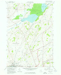
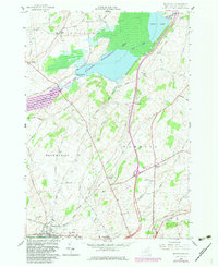
3 editions found
Other maps of this area

1893 · Sackets Harbor
USGS Topo · 1:62,500

1895 · Sacketts Harbor
USGS Topo · 1:62,500

1895 · Watertown
USGS Topo · 1:62,500

1898 · Watertown
USGS Topo · 1:62,500

1900 · Clayton
USGS Topo · 1:62,500

1903 · Clayton
USGS Topo · 1:62,500

1903 · Theresa
USGS Topo · 1:62,500

1908 · Watertown
USGS Topo · 1:62,500

1909 · Watertown
USGS Topo · 1:62,500

1942 · Clayton
USGS Topo · 1:24,000