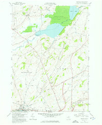
1958 Map of Brownville
USGS Topo · Published 1976About this map
The Black River flows along the southern boundary of this Jefferson County landscape, serving as the industrial and transit anchor for the villages of Brownville and Glen Park. Just to the north, the terrain shifts into a mosaic of dairy country and wetlands, dominated by the Perch River State Game Management Area and the expansive waters of Perch Lake. This mid-century survey captures a rural network of family farms and small crossroads settlements like Stone Mills and Pamelia Center, connected by historic thoroughfares such as Military Road.
Find a feature on this map
57 named features on this map. Tap any name to fly to it.
Don’t see what you’re looking for? This feature index may not catch every label — zoom into the map to look around manually.
Map Details
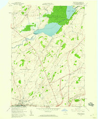
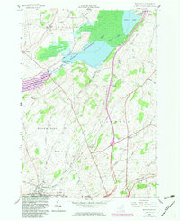
Editions of this 1958 Brownville Map
3 editions found
Other maps of this area

1893 · Sackets Harbor
USGS Topo · 1:62,500

1895 · Sacketts Harbor
USGS Topo · 1:62,500

1895 · Watertown
USGS Topo · 1:62,500

1898 · Watertown
USGS Topo · 1:62,500

1900 · Clayton
USGS Topo · 1:62,500

1903 · Clayton
USGS Topo · 1:62,500

1903 · Theresa
USGS Topo · 1:62,500

1908 · Watertown
USGS Topo · 1:62,500

1909 · Watertown
USGS Topo · 1:62,500

1942 · Clayton
USGS Topo · 1:24,000