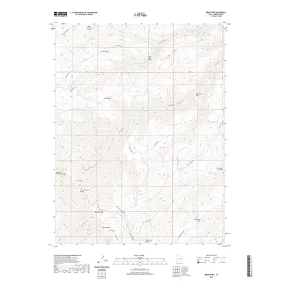
2020 Map of Bruin Point
USGS Topo · Published 2020About this map
Bruin Point rises as a prominent landmark on the West Tavaputs Plateau, overlooking a network of deep drainages and ridges in Carbon County. The landscape is defined by its numerous named springs and water sources, such as Burnt Cabin Spring, Maverick Spring, and Tidwell Spring, which historically supported movement through this high country. Travel across the terrain follows the natural contours, with routes like Mount Bartles Rd and Range Valley Mountain Rd tracing the high ridges.
Find a feature on this map
41 named features on this map. Tap any name to fly to it.
Don’t see what you’re looking for? This feature index may not catch every label — zoom into the map to look around manually.
Map Details
Editions of this 2020 Bruin Point Map
This is the sole edition of this map. No revisions or reprints were ever made.
Other maps of this area
1886 · Price River
USGS Topo · 1:250,000
1896 · Price River
USGS Topo · 1:250,000
1915 · Sunnyside
USGS Topo · 1:62,500
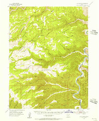
1954 · Flat Canyon
USGS Topo · 1:62,500
1956 · Price
USGS Topo · 1:250,000
1960 · Price
USGS Topo · 1:250,000
1962 · Price
USGS Topo · 1:250,000
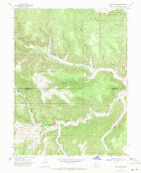
1968 · Wood Canyon
USGS Topo · 1:24,000
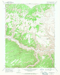
1968 · Cowboy Bench
USGS Topo · 1:24,000
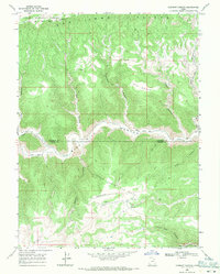
1968 · Currant Canyon
USGS Topo · 1:24,000