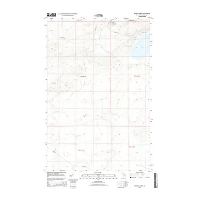
2014 Map of Bruneau Creek
USGS Topo · Published 2014About this map
Mt Horace Greeley dominates the northern reaches of this Keweenaw Peninsula terrain, overlooking a network of drainages that flow through the timberlands toward Lake Superior. The northeastern corner is defined by the significant waters of Lake Gratiot, which serves as a collection point for smaller streams like Eister Cr and Nine Thirty Two Cr. This 2014 survey documents a landscape primarily shaped by its hydrology, with the Tobacco River and Traverse River cutting through the southern sections. Local access is marked by historical routes such as Phoenix Farm Rd and Lizzardro Farm Rd, while the Little Gratiot River and Bruneau Cr provide key drainage corridors through the central highlands. The map provides a clear look at the township and range divisions across the Keweenaw wilderness, showing how modern forestry and access roads follow the natural contours of the land.
Find a feature on this map
24 named features on this map. Tap any name to fly to it.
Don’t see what you’re looking for? This feature index may not catch every label — zoom into the map to look around manually.
Map Details
Editions of this 2014 Bruneau Creek Map
This is the sole edition of this map. No revisions or reprints were ever made.
Other maps of this area

1938 · Bruneau Creek
USGS Topo · 1:31,680

1938 · Gay
USGS Topo · 1:31,680

1938 · Delaware
USGS Topo · 1:31,680

1939 · Deer Lake
USGS Topo · 1:31,680

1939 · Delaware
USGS Topo · 1:31,680

1940 · Deer Lake
USGS Topo · 1:31,680

1940 · Central
USGS Topo · 1:31,680

1941 · Mohawk
USGS Topo · 1:31,680

1946 · Phoenix
USGS Topo · 1:24,000

1946 · Bruneau Creek
USGS Topo · 1:24,000
Featured Places
- Eagle Harbor Township, MI
- Gratiot Lake Beach, MI
- Sherman Township, MI
- Houghton Township, MI
- Keweenaw County, MI