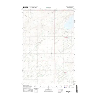
2017 Map of Bruneau Creek
USGS Topo · Published 2017About this map
Mt Horace Greeley dominates the northern reaches of this Keweenaw Peninsula landscape, standing as a high point above a network of waterways that define the local drainage patterns. To the east, the substantial waters of Lake Gratiot are fed by Little Gratiot River and Eister Cr, while Snake Cr flows southward from its shores. The interior is characterized by the winding paths of the Tobacco River and Bruneau Cr, which navigate the township's varied elevations. Transportation in this part of Keweenaw County is marked by a few established routes such as Phoenix Farms Rd and Mohawk Gay, indicating the long-standing connection between these copper-country communities. The map provides a look at the hydrography of the region, including Traverse River and Black Cr, as they appeared in the early twenty-first century.
Find a feature on this map
24 named features on this map. Tap any name to fly to it.
Don’t see what you’re looking for? This feature index may not catch every label — zoom into the map to look around manually.
Map Details
Editions of this 2017 Bruneau Creek Map
This is the sole edition of this map. No revisions or reprints were ever made.
Other maps of this area

1938 · Bruneau Creek
USGS Topo · 1:31,680

1938 · Gay
USGS Topo · 1:31,680

1938 · Delaware
USGS Topo · 1:31,680

1939 · Deer Lake
USGS Topo · 1:31,680

1939 · Delaware
USGS Topo · 1:31,680

1940 · Deer Lake
USGS Topo · 1:31,680

1940 · Central
USGS Topo · 1:31,680

1941 · Mohawk
USGS Topo · 1:31,680

1946 · Phoenix
USGS Topo · 1:24,000

1946 · Bruneau Creek
USGS Topo · 1:24,000
Featured Places
- Eagle Harbor Township, MI
- Gratiot Lake Beach, MI
- Sherman Township, MI
- Houghton Township, MI
- Keweenaw County, MI