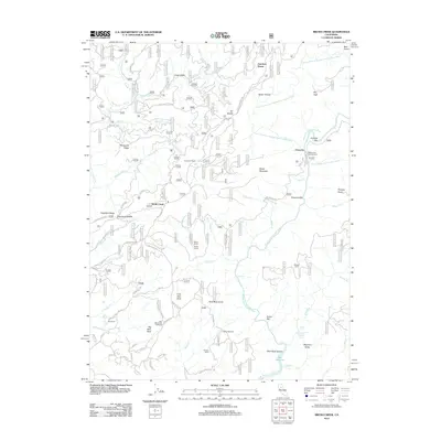
2012 Map of Brush Creek
USGS Topo · Published 2012About this map
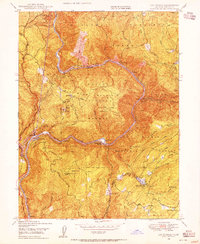
Junction House and Brush Creek anchor this survey of the Sierra Nevada foothills, a landscape defined by the deep canyons carved by the Middle Fork Feather River and its numerous tributaries. The topography is dominated by massive granite features like Bald Rock Dome and Big Bald Rock, while the canyon floor features a series of gravel bars such as Milsap Bar and Evans Bar that hint at the region's historic mining activity. Scattered ranches and homesteads, including Seater Ranch, Hinton Ranch, and Johnson Ranch, suggest a persistent agricultural and ranching presence in the upland flats. The network of forest roads, such as Four Mile Ridge Rd and the Oroville-Quincy Hwy, traces the ridgelines above the steep drainage of Spoon Ravine and French Cr, leading toward the northern reaches of Lake Oroville.
Find a feature on this map
79 named features on this map. Tap any name to fly to it.
Don’t see what you’re looking for? This feature index may not catch every label — zoom into the map to look around manually.
Map Details
Editions of this 2012 Brush Creek Map
This is the sole edition of this map. No revisions or reprints were ever made.
Other maps of this area

1888 · Bidwell Bar
USGS Topo · 1:125,000

1891 · Bidwell Bar
USGS Topo · 1:125,000

1893 · Bidwell Bar
USGS Topo · 1:125,000

1895 · Bidwell Bar
USGS Topo · 1:125,000

1897 · Bidwell Bar
USGS Topo · 1:125,000
1947 · Bidwell Bar
USGS Topo · 1:24,000
1947 · Brush Creek
USGS Topo · 1:24,000

1948 · Big Bend Mtn
USGS Topo · 1:62,500
1948 · Mooreville Ridge
USGS Topo · 1:62,500
1948 · Las Plumas
USGS Topo · 1:24,000