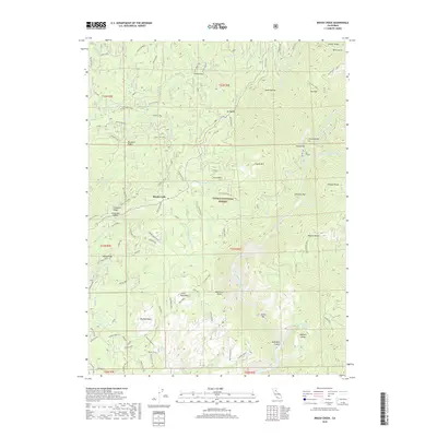
2018 Map of Brush Creek
USGS Topo · Published 2018About this map
Brush Creek sits within the canyon-cut landscape of the Plumas National Forest, where the deep drainage of the Middle Fork Feather River shapes the geography of Butte County. This 2018 survey details the transition from high ridgelines like Glazer Ridge and Mosquito Ridge to the historic river bars that dot the water's edge, including Milsap Bar, American Bar, and Evans Bar. These locations, along with named river features like Crooked Bar, trace the legacy of gold-era access points and riverside activity along the Feather River's difficult terrain.
Find a feature on this map
96 named features on this map. Tap any name to fly to it.
Don’t see what you’re looking for? This feature index may not catch every label — zoom into the map to look around manually.
Map Details
Editions of this 2018 Brush Creek Map
This is the sole edition of this map. No revisions or reprints were ever made.
Other maps of this area
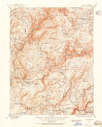
1888 · Bidwell Bar
USGS Topo · 1:125,000
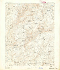
1891 · Bidwell Bar
USGS Topo · 1:125,000
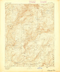
1893 · Bidwell Bar
USGS Topo · 1:125,000
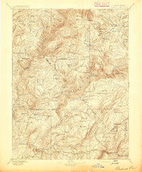
1895 · Bidwell Bar
USGS Topo · 1:125,000
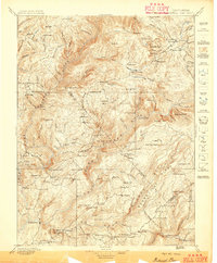
1897 · Bidwell Bar
USGS Topo · 1:125,000
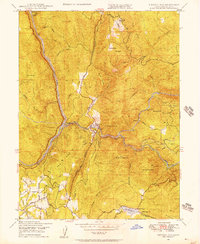
1947 · Bidwell Bar
USGS Topo · 1:24,000
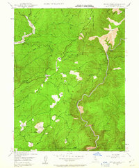
1947 · Brush Creek
USGS Topo · 1:24,000
1948 · Big Bend Mtn
USGS Topo · 1:62,500
1948 · Mooreville Ridge
USGS Topo · 1:62,500
1948 · Las Plumas
USGS Topo · 1:24,000