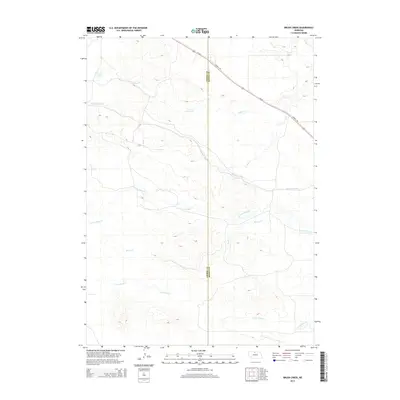
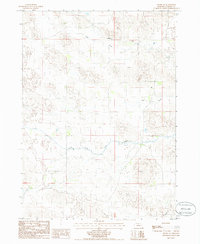
2014 Map of Brush Creek
USGS Topo · Published 2014About this map
The Cowboy Trl cuts across the northern landscape of this region, following the historic path of the Chicago and North Western Railway. This long-distance recreational route parallels Us-20 as it crosses the high plains on the border of Cherry Co and Brown Co. The terrain is defined by a complex network of prairie drainage, where the N Fork Plum Cr, S Fork Plum Cr, and Brush Cr flow through the undulating sandhills topography.
Find a feature on this map
12 named features on this map. Tap any name to fly to it.
Don’t see what you’re looking for? This feature index may not catch every label — zoom into the map to look around manually.
Map Details
Editions of this 2014 Brush Creek Map
This is the sole edition of this map. No revisions or reprints were ever made.
Other maps of this area
1949 · Long Lake
USGS Topo · 1:62,500
1950 · Wood Lake
USGS Topo · 1:62,500
1950 · Arabia
USGS Topo · 1:62,500
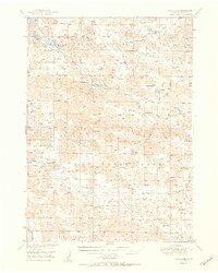
1951 · Long Lake
USGS Topo · 1:62,500
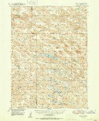
1951 · Moon Lake
USGS Topo · 1:62,500

1957 · Valentine
USGS Topo · 1:250,000

1959 · Valentine
USGS Topo · 1:250,000
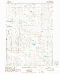
1985 · Wilson Valley
USGS Topo · 1:24,000
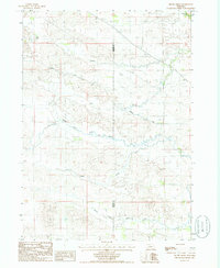
1985 · Brush Creek
USGS Topo · 1:24,000
1985 · Arabia SE
USGS Topo · 1:24,000