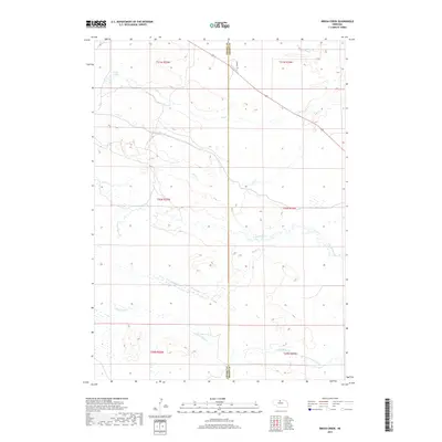
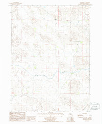
2017 Map of Brush Creek
USGS Topo · Published 2017About this map
Leach Lake sits at the northwestern edge of this landscape where the vast Nebraska Sandhills meet a complex drainage network near the Cherry County and Brown County line. The terrain is defined by the winding paths of the Brush Creek and the various branches of Plum Creek, including the N Fork Plum Cr and South Fork Plum Creek. These watercourses carve through the rolling hills, creating a distinct hydrological pattern characteristic of north-central Nebraska.
Find a feature on this map
16 named features on this map. Tap any name to fly to it.
Don’t see what you’re looking for? This feature index may not catch every label — zoom into the map to look around manually.
Map Details
Editions of this 2017 Brush Creek Map
This is the sole edition of this map. No revisions or reprints were ever made.
Other maps of this area
1949 · Long Lake
USGS Topo · 1:62,500
1950 · Wood Lake
USGS Topo · 1:62,500
1950 · Arabia
USGS Topo · 1:62,500
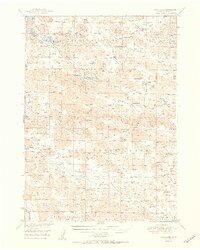
1951 · Long Lake
USGS Topo · 1:62,500
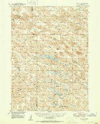
1951 · Moon Lake
USGS Topo · 1:62,500

1957 · Valentine
USGS Topo · 1:250,000

1959 · Valentine
USGS Topo · 1:250,000
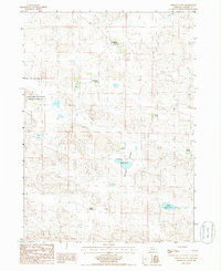
1985 · Wilson Valley
USGS Topo · 1:24,000
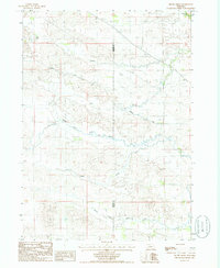
1985 · Brush Creek
USGS Topo · 1:24,000
1985 · Arabia SE
USGS Topo · 1:24,000