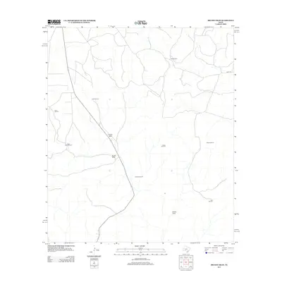
2012 Map of Brushy Draw
USGS Topo · Published 2012About this map
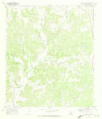
Baggett Ranch and a network of named livestock infrastructure define this portion of Val Verde County in the early 21st century. The landscape is characterized by its drainage patterns, most notably Noelke Draw, Brushy Draw, and Middle Draw, which dictate the placement of ranching operations and roads. The map reveals the critical importance of water access in this semi-arid Texas environment, documented through a series of named wells including Bullhead Windmill, Wildcat Windmill, and Noelke Windmill. While Co Rd 102 provides limited vehicular access, the majority of the terrain is marked by private ranch roads connecting these remote water stations and agricultural outposts.
Find a feature on this map
12 named features on this map. Tap any name to fly to it.
Don’t see what you’re looking for? This feature index may not catch every label — zoom into the map to look around manually.
Map Details
Editions of this 2012 Brushy Draw Map
This is the sole edition of this map. No revisions or reprints were ever made.
Other maps of this area

1954 · Sonora
USGS Topo · 1:250,000

1958 · Sonora
USGS Topo · 1:250,000
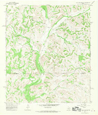
1967 · Flat Rock Draw SW
USGS Topo · 1:24,000
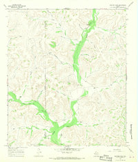
1967 · Shafter Draw
USGS Topo · 1:24,000
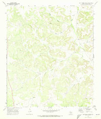
1969 · Wild Horse Canyon
USGS Topo · 1:24,000
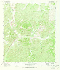
1970 · Juno
USGS Topo · 1:24,000
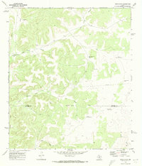
1970 · Indian Draw
USGS Topo · 1:24,000
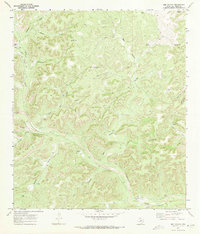
1970 · Bee Canyon
USGS Topo · 1:24,000
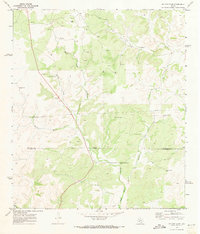
1970 · Brushy Draw
USGS Topo · 1:24,000
1970 · Harrell Canyon
USGS Topo · 1:24,000