
1969 Map of Wild Horse Canyon
USGS Topo · Published 1973About this map
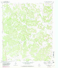
The Ward Ranch and Seaborn Ranch anchor the high plateau of Crockett County on this late 1960s survey. The landscape is defined by an intricate network of dry drainage systems, most notably the winding Wild Horse Canyon and the sharply cut Shaggy Canyon. These features characterize the Edwards Plateau's karst topography, where seasonal water flow has carved deep relief into the limestone surface.
Find a feature on this map
24 named features on this map. Tap any name to fly to it.
Don’t see what you’re looking for? This feature index may not catch every label — zoom into the map to look around manually.
Map Details
Editions of this 1969 Wild Horse Canyon Map
2 editions found
Other maps of this area

1954 · Sonora
USGS Topo · 1:250,000

1958 · Sonora
USGS Topo · 1:250,000

1967 · Baggett Ranch
USGS Topo · 1:24,000

1967 · Flat Rock Draw SW
USGS Topo · 1:24,000

1967 · Ozona SE
USGS Topo · 1:24,000

1967 · Shafter Draw
USGS Topo · 1:24,000
1967 · Hospital Ranch
USGS Topo · 1:24,000

1970 · Indian Draw
USGS Topo · 1:24,000

1970 · Brushy Draw
USGS Topo · 1:24,000
1970 · Harrell Canyon
USGS Topo · 1:24,000