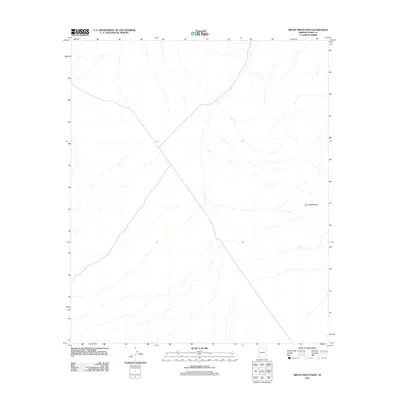
2011 Map of Bryan Mountains
USGS Topo · Published 2011About this map
Bryan Mountains dominate this arid landscape in Yuma County, appearing here in a digital 2011 topographic rendering. The terrain is characterized by a complex network of ephemeral desert washes and intermittent drainage patterns that carve through the desert floor. This Usgs sheet represents the modern era of high-resolution mapping, utilizing data from the National Hydrography Dataset and imagery from the Naip. The absence of named settlements or infrastructure reflects the preservation of this remote desert environment, where the topographic contours provided by the National Elevation Dataset reveal the sharp physical relief of the peaks. Researchers of the Arizona borderlands will find this record essential for understanding the physical geography and hydrography of the region at the start of the second decade of the 21st century.
Find a feature on this map
1 named feature on this map. Tap any name to fly to it.
Don’t see what you’re looking for? This feature index may not catch every label — zoom into the map to look around manually.
Map Details
Editions of this 2011 Bryan Mountains Map
This is the sole edition of this map. No revisions or reprints were ever made.
Other maps of this area

1953 · Ajo
USGS Topo · 1:250,000

1957 · Ajo
USGS Topo · 1:250,000

1958 · Ajo
USGS Topo · 1:250,000

1962 · Ajo
USGS Topo · 1:250,000

1963 · Ajo
USGS Topo · 1:250,000

1965 · O'Neill Hills
USGS Topo · 1:62,500

1965 · Granite Mountains
USGS Topo · 1:62,500

1965 · Isla Pinta
USGS Topo · 1:62,500

1965 · Sierra Arida
USGS Topo · 1:62,500

1967 · Ajo
USGS Topo · 1:250,000